
What is recorded here
Situated near the summit of a NW-SE ridge, one mile NE of Glencree. Two large rocks one of which displays a very weathered incised Greek cross with T-shaped terminals and the letters IHS'. (Information Kenneth Clear) According to O' Donovan (O'Flanagan 1928, 5) it was locally known as 'Castle Toole'.
The above description is derived from the published 'Archaeological Inventory of County Wicklow' (Dublin: Stationery Office, 1997). In certain instances the entries have been revised and updated in the light of recent research.
Date of upload/revision: 17 December 2008
Linked to clandestine Catholic worship during the Penal Times, the mass-rock tradition involved holding secret religious services in remote locations to avoid persecution. The incised Greek cross and IHS monogram suggest a 17th- or 18th-century date and reflect the devotion of local Catholics to their faith.
The monument record does not grant public access. Check the route and ask the landowner before entering private land.
- What survives
- Recorded monument
Places near here
 KnocknagunMountain / peak · 363 yd
 IndicatedEnclosure · 1424 yd
 Enclosure in OldboleysEnclosure · 1643 yd
 Cloon WoodForest · 1691 yd
 Prince William's SeatMountain / peak · 1723 yd
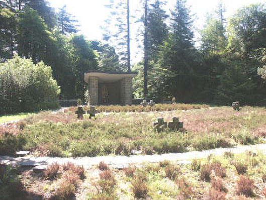 Deutscher Kriegs Friedhofgraveyard/cemetery · 1.1 mi
 Glencree German War CemeteryHeritage attraction · 1.2 mi
 Glencree Centre for Peace and ReconciliationHeritage attraction · 1.2 mi
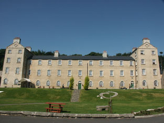 Glencree Barrackbarracks · 1.2 mi
 Millennium WoodWood · 1.6 mi
 Dublin Mountains Partnership InformationVisitor information · 1.8 mi
 Dublin Mountain Way informationVisitor information · 2.1 mi
Other information
Photo: Credit not shown in the picture search · Rights wording not checked; contact us if this picture should be removed