What is recorded here
On a south-facing, forested slope, planted with Scots Pine both internally and on the perimeter. A circular area (diam. c. 30m), defined by an intermittent low earth and stone bank along the E and by a scarp along the S where some large stones may be the remains of facing. Along the W a N-S field fence is built on the perimeter. The interior slopes down from N to S. A forestry track, on the line of an earlier roadway, skirts the N limits of the site. Marked on an estate map of 1816 (part of a set of maps of the Powerscourt Estate, presently held in the Irish Architectural Archive; Pers. comm. Chris Corlett).
Compiled by: Claire Breen
Date of upload: 01 February 2013
The monument record does not grant public access. Check the route and ask the landowner before entering private land.
- What survives
- Recorded monument
Places near here
 IndicatedEnclosure · 437 yd
 Curtlestown WoodForest · 804 yd
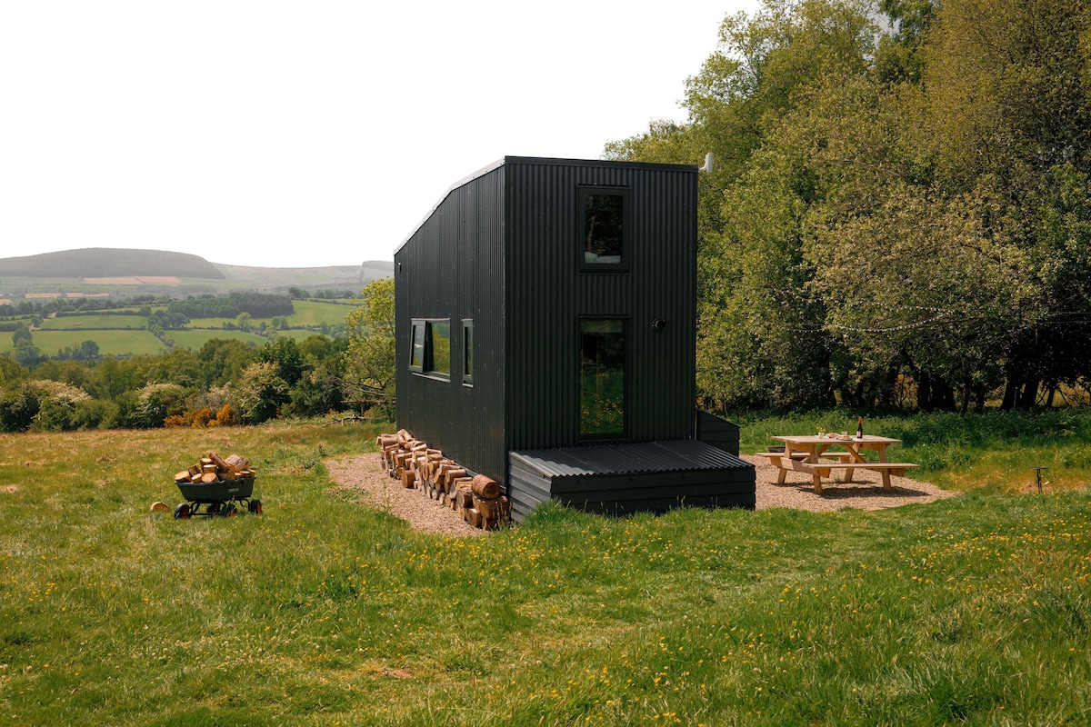 Enclosure in BarnamireEnclosure · 1031 yd
 Cloon WoodForest · 1052 yd
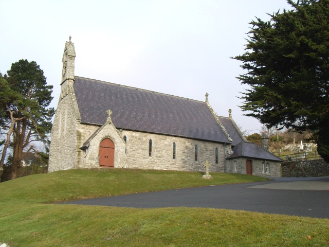 Saint Patrick's Catholic Churchchurch/chapel · 1217 yd
 Prince William's SeatMountain / peak · 1568 yd
 KnocknagunMountain / peak · 1.5 mi
 Glencullen Bridgebridge · 1.6 mi
 Powerscourt EstateHeritage attraction · 1.9 mi
 Glencree Centre for Peace and ReconciliationHeritage attraction · 2.5 mi
 Dublin Mountains Partnership InformationVisitor information · 3.0 mi
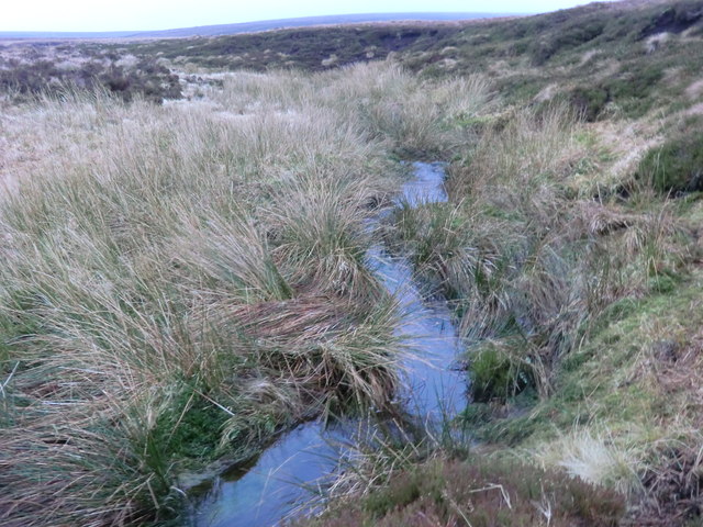 Source of River LiffeySpring · 3.3 mi