
What is recorded here
Three-arch road bridge over river, extant 1837. Part creeper- or ivy-covered walls centred on triangular cutwaters to piers to upriver (west) elevation with lichen-spotted rough hewn granite coping to parapets. Series of three round arches with lichen-spotted voussoirs. Sited spanning Glencullen River with grass banks to river.
A bridge representing an integral component of the civil engineering heritage of south County Dublin: meanwhile, a much weathered benchmark remains of additional interest for the connections with cartography and the preparation of maps by the Ordnance Survey (established 1824).
From the Buildings of Ireland (National Inventory of Architectural Heritage) record 60250030
This does not grant access. Most recorded buildings are privately owned; view them only from public ground unless the owner allows entry.
Places near here
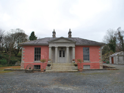 Glencullen HouseCountry house · 976 yd
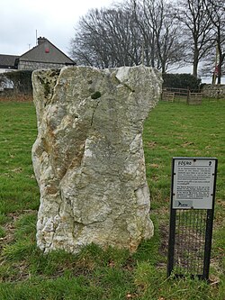 Glencullen Standing StoneArchaeological place · 1022 yd
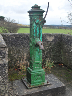 water pump1153 yd
 Prince William's SeatMountain / peak · 1.2 mi
 Ballyedmonduff Wedge TombArchaeological place · 1.3 miIndicatedCastle, motte · 1.8 miBarnaslingan - Scalp Lookout TrailWalking route · 1.8 mi
 Sweet Chestnut1.8 miBarnaslingan - Pine loop trailWalking route · 1.8 mi
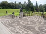 Powerscourt HouseHeritage attraction · 2.2 mi
 Italian maple2.2 mi
 Two Rock MountainMountain / peak · 2.3 mi
Pictures: National Inventory of Architectural Heritage; Sheila1988, Wikimedia Commons · CC0; Britishfinance, Wikimedia Commons · CC BY-SA 4.0; Joe King, Wikimedia Commons · CC BY-SA 3.0; Miguel Angel Masegosa Martínez, Wikimedia Commons · CC BY 2.0; XeresNelro, Wikimedia Commons · CC BY-SA 4.0; Xemenendura, Wikimedia Commons · CC BY-SA 3.0
More historic places in County Dublin · All of County Dublin
What do you know about this place?