
What is recorded here
Indicated, Powerscourt Demesne is a steep-sided glacial gravel hillock in County Wicklow, Ireland, possibly tied to the medieval borough of Mulsoe's Court. Conifers now hide its level summit, but the oval shape and sudden rise still mark the ground where human hands may have shaped or defended the landscape. The trees obscure more than they reveal, forcing imagination to fill the gap between gravel, gravity and forgotten purpose.
Situated in gently undulating terrain. Oval steep-sided hillock (dims. c. 220m NW-SE; 170m NE-SW) of glacial gravel, with a level summit at the SE end (dims. c. 50m E-W; 40m N-S). It is now planted with conifers. Possibly part of the medieval borough of Mulsoe's Court (WI007-018----). (GSIAP, 0 172-3)
The above description is derived from the published 'Archaeological Inventory of County Wicklow' (Dublin: Stationery Office, 1997). In certain instances the entries have been revised and updated in the light of recent research.
Date of upload/revision: 17 December 2008
The monument record does not grant public access. Check the route and ask the landowner before entering private land.
- What survives
- Recorded monument
Places near here
 Enclosure in ParknasillogeEnclosure · 485 yd
 St. Molings WellHoly well · 540 yd
 Sweet ChestnutSweet Chestnut · 639 yd
 Powerscourt EstateHeritage attraction · 723 yd
 Church (in ruins)Church · 739 yd
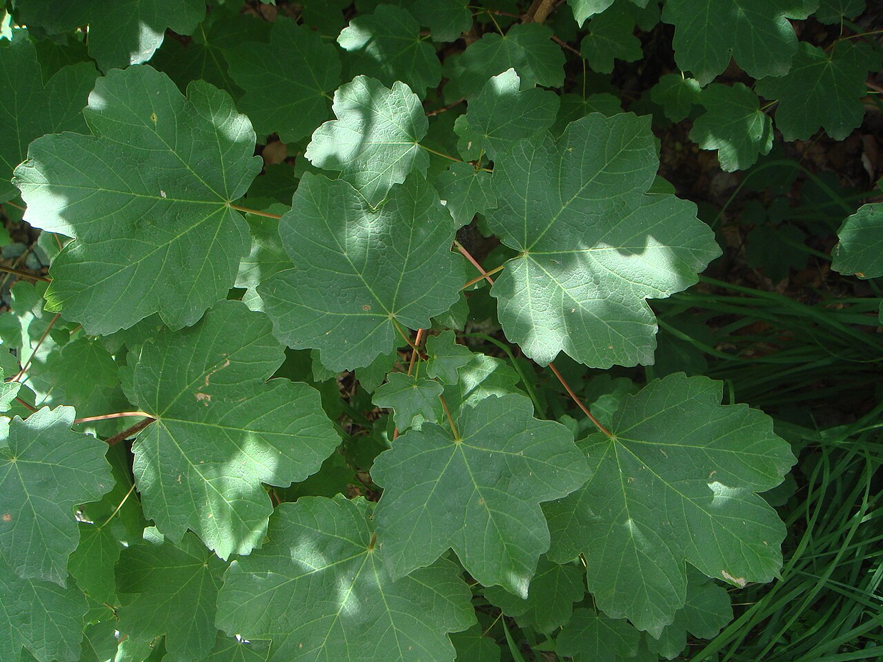 Italian mapleItalian maple · 785 yd
 Powerscourt Housefarmyard complex · 874 yd
 Lover's LeapNamed rock · 1.6 mi
 Graveyard in BallymanGraveyard · 1.9 mi
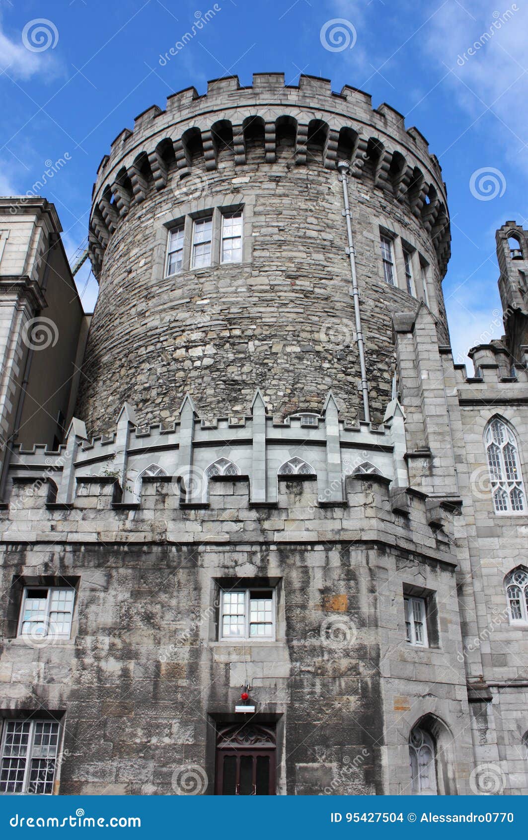 CastleCastle, tower house · 2.0 mi
 Barnaslingan HillMountain / peak · 2.0 mi
 Carrickgollogan HillMountain / peak · 2.3 mi
Other information
Photo: Credit not shown in the picture search · Rights wording not checked; contact us if this picture should be removed