What is recorded here
Cropmark of sub-circular shaped enclosure visible on aerial photograph (Irish Times 6th June 2018). No monument depicted at this location on any edition of the OS 6-inch maps. Outline of cropmark barely visible on Digital Globe aerial photograph.
From the National Monuments Service (Archaeological Survey of Ireland) record WI007-087
The monument record does not grant public access. Check the route and ask the landowner before entering private land.
- What survives
- Recorded monument
Places near here
Photo credits
- National Inventory of Architectural Heritage
- Miguel Angel Masegosa Martínez, Wikimedia Commons · CC BY 2.0
- Xemenendura, Wikimedia Commons · CC BY-SA 3.0
- XeresNelro, Wikimedia Commons · CC BY-SA 4.0
- Wanfried-Dublin, Wikimedia Commons · CC BY-SA 4.0
- Joe King, Wikimedia Commons · CC BY-SA 3.0
- Sheila1988, Wikimedia Commons · CC0
IndicatedCastle, motte · 485 yd Saint Mary's Catholic ChurchOfficially recorded historic building · 1014 ydSaint Mary's Catholic ChurchPresbytery/parochial/curate's house · 1020 ydSweet Chestnut1076 ydPowerscourt EstateHeritage attraction · 1147 ydItalian maple1165 ydPowerscourt HouseHeritage attraction · 1232 ydLover's LeapNamed rock · 1.6 miGraveyard in BallymanGraveyard · 1.7 miCarrickgollogan dolmen/wedge tombArchaeological place · 2.0 miCarrickgollogan HillMountain / peak · 2.0 miGlencullen Standing StoneArchaeological place · 2.1 mi
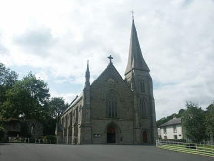 Saint Mary's Catholic ChurchOfficially recorded historic building · 1014 yd
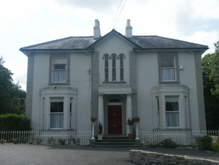 Saint Mary's Catholic ChurchPresbytery/parochial/curate's house · 1020 yd
 Sweet Chestnut1076 ydPowerscourt EstateHeritage attraction · 1147 yd
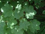 Italian maple1165 yd
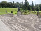 Powerscourt HouseHeritage attraction · 1232 ydLover's LeapNamed rock · 1.6 miGraveyard in BallymanGraveyard · 1.7 mi
 Carrickgollogan dolmen/wedge tombArchaeological place · 2.0 mi
 Carrickgollogan HillMountain / peak · 2.0 mi
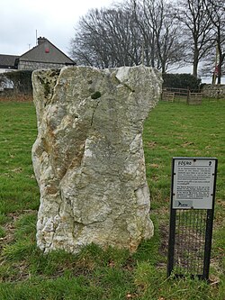 Glencullen Standing StoneArchaeological place · 2.1 mi
More archaeology and monuments in County Wicklow · All of County Wicklow
What do you know about this place?