What is recorded here
The tower house is situated amongst rich pastureland with views onto the Bray coastline and S to Sugarloaf Mountain. The Civil survey (1654-6) describes a 'thatched castle' at Ballyman, which was held since 1641 by Sir Edward Wingfield (Simington 1945, 279). Prior to 1641, the castle had been held by the Talbot family. The castle survived until c. 1835 when it was pulled down to supply materials for Ballyman House (D'Alton 1976, 459 2nd ed; Turner 1983, 87). The rear portion of Ballyman House, apparently, incorporates some earlier features including stone facing and walls (pers. comm. Rob Goodbody). Revised upload on: 21 April 2018.
The tower house is situated amongst rich pastureland with views onto the Bray coastline and S to Sugarloaf Mountain. The Civil survey (1654-6) describes a 'thatched castle' at Ballyman, which was held since 1641 by Sir Edward Wingfield (Simington 1945, 279). Prior to 1641, the castle had been held by the Talbot family. The castle survived until c. 1835 when it was pulled down to supply materials for Ballyman…
From the National Monuments Service (Archaeological Survey of Ireland) record DU026-063
The monument record does not grant public access. Check the route and ask the landowner before entering private land.
- What survives
- Recorded monument
Places near here
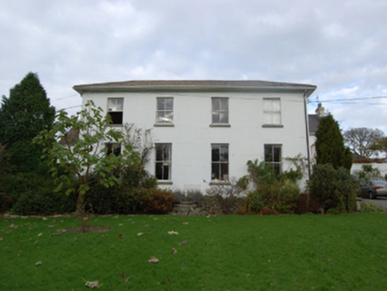 Ballyman HouseFarm house · 48 yd
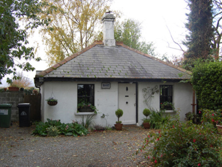 Ballyman HouseGate lodge · 149 ydGraveyard in BallymanGraveyard · 478 yd
 Carrickgollogan dolmen/wedge tombArchaeological place · 1021 yd
 Carrickgollogan HillMountain / peak · 1271 yd
 Cross1580 ydIndicatedCastle, tower house · 1.0 miBarnaslingan - Pine loop trailWalking route · 1.2 mi
 Stone Pine1.6 mi
 European Beech1.6 mi
 Puck's CastleCastle · 1.7 mi
 Powerscourt HouseHeritage attraction · 2.2 mi
Pictures: National Inventory of Architectural Heritage; Wanfried-Dublin, Wikimedia Commons · CC BY-SA 4.0; Joe King, Wikimedia Commons · CC BY-SA 3.0; Seanief1, Wikimedia Commons · CC BY-SA 4.0; Livioandronico2013, Wikimedia Commons · CC BY-SA 4.0; Malene Thyssen, Wikimedia Commons · CC BY-SA 3.0; Suckindiesel, Wikimedia Commons · CC BY 2.5; XeresNelro, Wikimedia Commons · CC BY-SA 4.0
More castles and forts in County Dublin · All of County Dublin
What do you know about this place?