
What is recorded here
Situated in a wet area at the SE foot of a steep hillock. Circular shaft (dims. 0.85m x 0.8m; D 1.3m) with a lining of small granite stones. There appears to be a stone base to the shaft. A circular cut slab with one flat and one domed face has been wedged into the shaft near the base.
The above description is derived from the published 'Archaeological Inventory of County Wicklow' (Dublin: Stationery Office, 1997). In certain instances the entries have been revised and updated in the light of recent research.
Date of upload/revision: 17 December 2008
St. Molings Well is associated with St. Moling, an 8th-century Irish saint known for founding monastic sites and for his healing miracles. The well was traditionally visited for its supposed curative properties, particularly for skin ailments and general wellness, and was likely a site of pilgrimage and seasonal rituals.
The monument record does not grant public access. Check the route and ask the landowner before entering private land.
- What survives
- Recorded monument
Places near here
 Enclosure in ParknasillogeEnclosure · 489 yd
 IndicatedCastle, motte · 540 yd
 Enclosure in KilmalinEnclosure · 739 yd
 Sweet ChestnutSweet Chestnut · 830 yd
 Powerscourt EstateHeritage attraction · 1245 yd
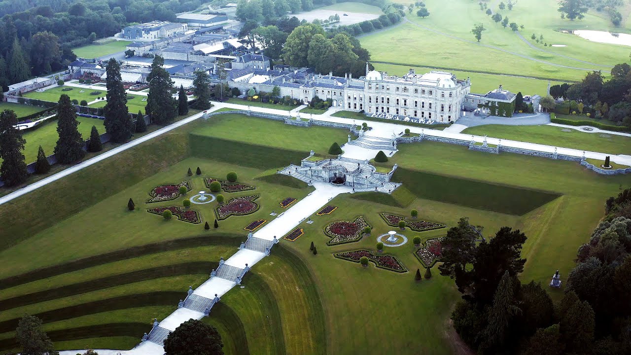 Church (in ruins)Church · 1279 yd
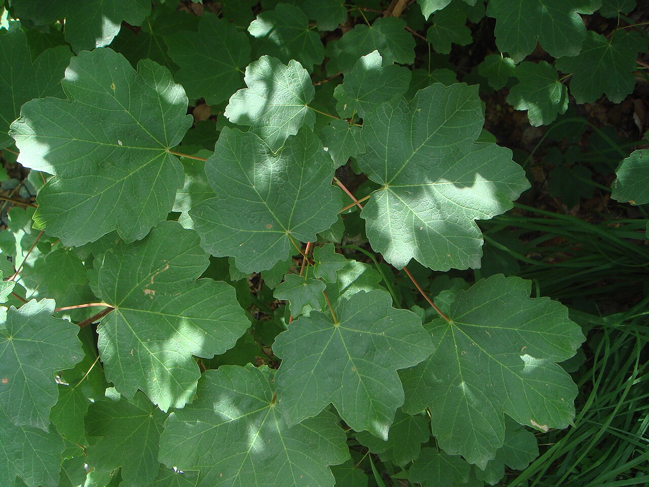 Italian mapleItalian maple · 1321 yd
 Powerscourt Housefarmyard complex · 1360 yd
 Barnaslingan HillMountain / peak · 1.9 mi
 Lover's LeapNamed rock · 1.9 mi
 Prince William's SeatMountain / peak · 1.9 mi
 Barnaslingan - Pine loop trailWalking route · 2.0 mi
Other information
Photo: Credit not shown in the picture search · Rights wording not checked; contact us if this picture should be removed