
What is recorded here
Located at a break in slope on a S-facing slope and on the E side of a NNE-SSW field bank. In the 1960s the landowner and a local priest built a concrete wall around the mass-rock, which is still present creating a bay (dims 1.05m NE-SW; 0.7m NW-SE; H 0.7m) open to the SE and with the stump of an iron cross still present, but the mass rock is no longer present. (Ó Gallachair 1957, 117)
Compiled by: Michael Moore
Date of upload; 3 November, 2016
A mass-rock associated with Catholic worship during the Penal Days in Ireland, when public celebration of the Catholic Mass was forbidden. Such sites were often linked to local saints or used as places of refuge and spiritual resistance.
The monument record does not grant public access. Check the route and ask the landowner before entering private land.
- What survives
- Recorded monument
Places near here
 Hilltop enclosure in DrumacleeskinHilltop enclosure · 389 yd
 CallowhillMountain / peak · 645 yd
 CairnCairn, unclassified · 1004 yd
 CorrakeeranMountain / peak · 1250 yd
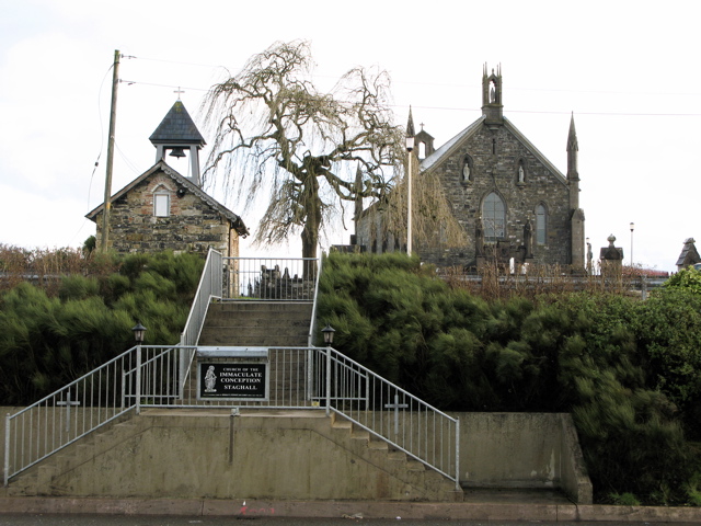 Church in MagherintempleChurch · 1.4 mi
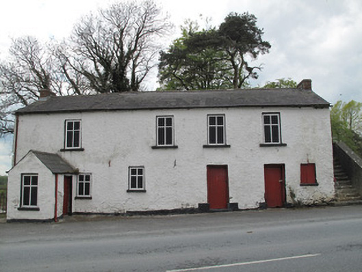 Scotshouse National Schoolschool · 1.6 mi
 Drumcarn Ho.Castle, unclassified · 1.9 mi
 StoneparkWood · 1.9 mi
 The Dark WoodWood · 2.2 mi
 RuinsHouse, fortified house · 2.5 mi
 Garden IsleIslet · 3.9 mi
 Giant's GraveArchaeological place · 4.0 mi
Other information
Photo: Credit not shown in the picture search · Rights wording not checked; contact us if this picture should be removed