What is recorded here
Natural rock outcrop acting as a mass-rock that is now located in coniferous plantation which is situated on top of high ground near the edge of a steep drop with panoramic views in all directions especially to the S and E. Nearby sweat-house (TN032-010) located 275m to the SW.
From the National Monuments Service (Archaeological Survey of Ireland) record TN032-015
The monument record does not grant public access. Check the route and ask the landowner before entering private land.
- What survives
- Recorded monument
Places near here
Ballyhourigan WoodsForest · 1074 ydIndicatedFairy fort / earthen ringfort · 1.3 mi Ciamaltha HouseHunting/fishing lodge · 1.4 miCiamaltha HouseStables · 1.5 miCastleCastle, ringwork · 2.2 miKeeper HillMountain / peak · 2.3 miTower (in Ruins)Bawn · 2.6 miSilvermines ViewpointViewpoint · 4.5 miSlieve FelimMountain / peak · 4.8 miThe MinerMemorial · 4.8 miSweet Chestnut5.6 miKilmore Church (in Ruins), GraveyardGraveyard · 5.9 mi
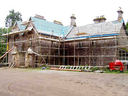 Ciamaltha HouseHunting/fishing lodge · 1.4 mi
 Ciamaltha HouseStables · 1.5 miCastleCastle, ringwork · 2.2 mi
 Keeper HillMountain / peak · 2.3 miTower (in Ruins)Bawn · 2.6 mi
 Silvermines ViewpointViewpoint · 4.5 mi
 Slieve FelimMountain / peak · 4.8 miThe MinerMemorial · 4.8 mi
 Sweet Chestnut5.6 mi
 Kilmore Church (in Ruins), GraveyardGraveyard · 5.9 mi
Pictures: National Inventory of Architectural Heritage; Sarah777, Wikimedia Commons · Public domain; Colin Park, Geograph · CC BY-SA 2.0; Antony Dixon, Wikimedia Commons · CC BY-SA 2.0; Miguel Angel Masegosa Martínez, Wikimedia Commons · CC BY 2.0; P L Chadwick, Geograph · Creative Commons Attribution-ShareAlike 2.0
More archaeology and monuments in County Tipperary · All of County Tipperary
What do you know about this place?