What is recorded here
In forestry, on outcropping rock, overlooking a river to the W. This mass-rock comprises outcropping rock (L 2.6m; T 0.3m; H 1m) which is orientated SW-NE. A metal cross and plaque records (in Irish) that mass was celebrated at the rock during penal times. Volume 5' (Dublin: Stationery Office, 2009).
From the National Monuments Service (Archaeological Survey of Ireland) record CO085-135
The monument record does not grant public access. Check the route and ask the landowner before entering private land.
- What survives
- Recorded monument
Places near here
Photo credits
- National Inventory of Architectural Heritage
- Hywel Williams, Geograph · CC BY-SA 2.0
- Mike Searle, Geograph · CC BY-SA 2.0
- Brendandiamond, Wikimedia Commons · CC BY-SA 3.0
Moated site in BallinveiltigMoated site · 677 ydSunday WellSpring · 763 ydGraveyard in BallynoraGraveyard · 806 yd St James' Roman Catholic ChurchChurch/chapel · 816 ydsign post878 ydwaterfallVisitor information · 1084 ydEnclosure in BallynoraEnclosure · 1142 ydMonument WaterfallMonument · 1161 ydBallincollig ViewViewpoint · 1.1 miMurphy's FarmHeritage attraction · 1.7 miBallincollig Castle (in Ruins)Castle, tower house · 1.9 miBallincollig CastleCastle · 1.9 mi
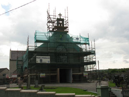 St James' Roman Catholic ChurchChurch/chapel · 816 yd
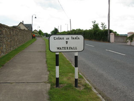 sign post878 yd
 waterfallVisitor information · 1084 ydEnclosure in BallynoraEnclosure · 1142 ydMonument WaterfallMonument · 1161 ydBallincollig ViewViewpoint · 1.1 miMurphy's FarmHeritage attraction · 1.7 mi
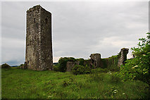 Ballincollig Castle (in Ruins)Castle, tower house · 1.9 mi
 Ballincollig CastleCastle · 1.9 mi
More archaeology and monuments in County Cork · All of County Cork
What do you know about this place?