What is recorded here
In pasture. Depicted as trapezoidal enclosure (c. 30m N-S; c. 30m E-W) on 1842, 1903 and 1940 OS 6-inch map. Walsh (1985, 57, 128, no. 127) describes partially overgrown 'irregular' enclosure defined by bank (H 1m) with external fosse (D 1.5m); 'possible moated site'.
From the National Monuments Service (Archaeological Survey of Ireland) record CO085-037
The monument record does not grant public access. Check the route and ask the landowner before entering private land.
- What survives
- Recorded monument
Places near here
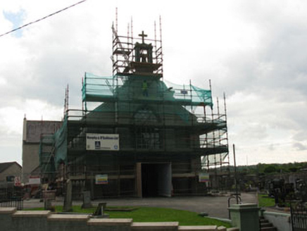 St James' Roman Catholic ChurchChurch/chapel · 356 ydGraveyard in BallynoraGraveyard · 367 yd
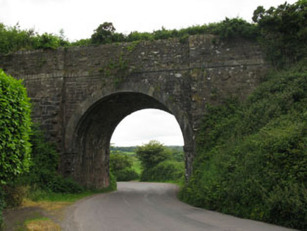 bridge938 yd
 waterfallVisitor information · 948 ydCorbally Montessori & Early Years' Pre-schoolVisitor information · 980 ydMonument WaterfallMonument · 1058 ydMass-rock in BallymahMass-rock · 1142 ydSunday WellSpring · 1.0 miRumley's Open FarmHeritage attraction · 1.8 mi
 Grave YardGraveyard · 2.3 mi
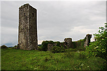 Ballincollig Castle (in Ruins)Castle, tower house · 2.3 mi
 Ballincollig CastleCastle · 2.3 mi
Pictures: National Inventory of Architectural Heritage; Hywel Williams, Geograph · CC BY-SA 2.0; Hywel Williams, Geograph · Creative Commons Attribution-ShareAlike 2.0; Mike Searle, Geograph · CC BY-SA 2.0; Brendandiamond, Wikimedia Commons · CC BY-SA 3.0
More archaeology and monuments in County Cork · All of County Cork
What do you know about this place?