What is recorded here
In pasture, on S-facing slope. Roughly trapezoidal area (max. L 39m E-W; max. Wth 38.6m N-S; min. Wth 26.4m N-S) enclosed by earthen bank (H 1.2m) to N and E; scarp (H 1m) elsewhere; external fosse (D 1m) to N and E, shallow depression to S. Interior raised on SW side to compensate for hillslope.
From the National Monuments Service (Archaeological Survey of Ireland) record CO085-043001
The monument record does not grant public access. Check the route and ask the landowner before entering private land.
- What survives
- Recorded monument
Places near here
Photo credits
- National Inventory of Architectural Heritage
- Hywel Williams, Geograph · CC BY-SA 2.0
- Mike Searle, Geograph · CC BY-SA 2.0
- Brendandiamond, Wikimedia Commons · CC BY-SA 3.0
Mass-rock in BallymahMass-rock · 677 ydSunday WellSpring · 714 yd sign post937 ydAuburn VillaHouse · 1145 ydFulacht FiadhFulacht fia · 1149 ydGraveyard in BallynoraGraveyard · 1436 ydwaterfallVisitor information · 1459 ydMonument WaterfallMonument · 1491 ydBallincollig ViewViewpoint · 1502 ydMurphy's FarmHeritage attraction · 1.3 miBallincollig Castle (in Ruins)Castle, tower house · 1.9 miBallincollig CastleCastle · 1.9 mi
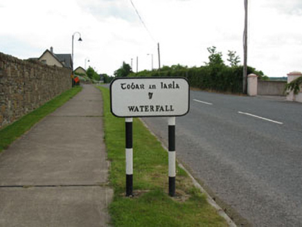 sign post937 yd
 Auburn VillaHouse · 1145 ydFulacht FiadhFulacht fia · 1149 ydGraveyard in BallynoraGraveyard · 1436 yd
 waterfallVisitor information · 1459 ydMonument WaterfallMonument · 1491 ydBallincollig ViewViewpoint · 1502 ydMurphy's FarmHeritage attraction · 1.3 mi
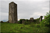 Ballincollig Castle (in Ruins)Castle, tower house · 1.9 mi
 Ballincollig CastleCastle · 1.9 mi
More archaeology and monuments in County Cork · All of County Cork
What do you know about this place?