
What is recorded here
Situated on a little col with higher ground to the NW, E and S, lower ground to the W and a small S-N stream valley just to the E. The mass-rock was in a small mass-garden, which was a small rectangular field (dims c. 65m NE-SW; c. 35m NW-SE) described as a Mass Garden o the 1834 ed. of the OS 6-inch map but it is now occupied by houses. The mass-rock was placed between the masonry gate-piers into the mass-garden c. AD 1990. It is a rectangular stone (dims 1-1.05m x 0.55-0.6m; H 0.6m) set on a cement base with three steps leading down to the road. (Ó Gallachair 1957, 113)
Compiled by: Michael Moore
Date of upload: 20 June, 2016
Linked to clandestine Catholic worship during the period of religious persecution in Ireland, the mass-rock was used for secret Masses, with the surrounding mass-garden serving as a gathering place for the local community. Such sites were often associated with local saints or traditions of resistance and faith.
The monument record does not grant public access. Check the route and ask the landowner before entering private land.
- What survives
- Recorded monument
Places near here
 frotFairy fort / earthen ringfort · 660 yd
 Crannog in Ballygreany,bryanlitterCrannog · 736 yd
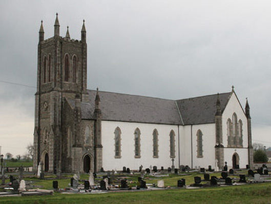 Saint Mary's Catholic Churchchurch/chapel · 1023 yd
 Battle of ClontibretBattlefield · 1064 yd
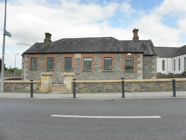 Moys National Schoolschool · 1092 yd
 Castleshane WaterfallWaterfall · 1.9 mi
 Caldwells' WoodWood · 4.5 mi
 Liscarney WoodWood · 4.7 mi
 Monaghan WayWalking route · 4.8 mi
 LisnaspeenanMountain / peak · 11 mi
 Fedd HillMountain / peak · 11 mi
 The Black Castle Chambered GraveArchaeological place · 12 mi
Other information
Photo: Credit not shown in the picture search · Rights wording not checked; contact us if this picture should be removed