What is recorded here
Robswalls Martello Tower No. 5 (Kerrigan 1995, 174). According to Kerrigan (1995, 168) construction of the Dublin area Martello Towers and their batteries commenced in 1804 under the supervision of Colonel Benjamin Fisher of the Royal Engineers and by December 1805 all towers were armed and complete. Kerrigan (ibid.) recorded that; 'Twelve towers were constructed north of Dublin: each tower mounted one 24-pounder, apart from the tower on Ireland's Eye with two 24-pounders. No batteries were constructed with these towers'. Situated on the landward side of the Coast road SE of Malahide Village and overlooking the entrance to Malahide Harbour. It was built for the defence of Malahide Strand and the mouth of the river. The tower was originally in the charge of the Royal Artillery. By 1897 it was disarmed and was let by the War Department to Baron Talbot of Malahide. It was sold by the War Department in 1908 (Bolton et al. 2012, 160). Known locally as 'Hick's Tower' after Frederick George Hicks who bought it in 1908 converted to a residence in the Arts and Crafts style. It survives to its original height. A conical roof of Wollscroft tiles was added, walls were cased in brick and windows inserted (Flanagan 1984, 119 122; Kerrigan 1996, 175). It is topped by a weather vane of a full rigged sailing galleon of cast bronze by famous ironworks JJ Mcloughlin of Pearse St. Dublin.
Martello Tower described by the National Inventory of Architectural Heritage (NIAH) as a; 'Former Martello tower, built c. 1805, remodelled c.1911 as Arts and Crafts style detached house. Designed by architect Frederick Hicks. Two storeys to main tower block with two storeys to attic accommodation. Return and stair block attached to rear' (NIAH Reg. No. 11344040; https://www.buildingsofireland.ie/buildings-search/building/11344040/hicks-tower-coast-road-robswalls-malahide)
See attached plan of Robswalls Martello Tower No. 5 courtesy of the Irish Military Archives - Archival Reference Code: IE/MA/MPD/ad134125-010
Photograph: Patrick Comerford, 2015
See attached Taylor's 1816 Map showing the location of the Martello Tower.
Taylor, J. 1816 Taylor's map of the environs of Dublin: extending 10 to 14 miles from the castle, by actual survey, on a scale of 2 inches to one mile.
Compiled by: Geraldine Stout
Updated by: Christine Baker
Revised by: Caimin O'Brien
Date of revised upload: 24 January 2023
The monument record does not grant public access. Check the route and ask the landowner before entering private land.
- What survives
- Recorded monument
Places near here
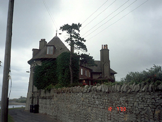 Hicks Towermartello tower · 2 yd
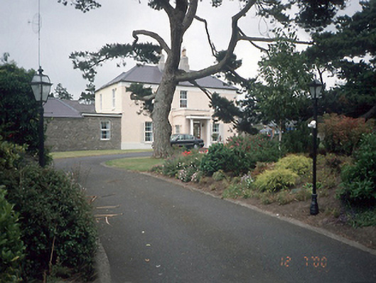 Moldowney Househouse · 148 yd
 Malahide BeachBeach / strand · 174 yd
 Midden in RobswallsMidden · 472 yd
 Burnt mound in RobswallsBurnt mound · 490 yd
 High RockViewpoint · 1236 yd
 Welcome To MalahideVisitor information · 1395 yd
 MoatCastle, motte and bailey · 1459 yd
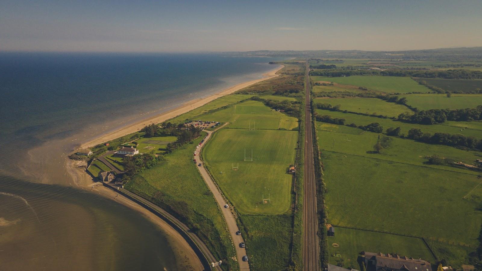 Corballis Nudist BeachBeach / strand · 1613 yd
 Casino Model Railway MuseumMuseum · 1679 yd
 Black WoodWood · 1747 yd
 Malahide Castle Demesne Church (Ruin)Ruins · 1.2 mi