What is recorded here
In tillage, on level ground; discovered in 1976. McCarthy (1977, 286-7) recorded single sub-rectangular stone-built chamber (L 3.02m; Wth 1.35m; H1.22m; long axis N-S) roofed with lintels. N end collapsed; blocked creepway at S end framed by lintels and two jamb stones. No visible surface trace.
From the National Monuments Service (Archaeological Survey of Ireland) record CO073-057
The monument record does not grant public access. Check the route and ask the landowner before entering private land.
- What survives
- Recorded monument
Places near here
Photo credits
- National Inventory of Architectural Heritage
- Hywel Williams, Geograph · Creative Commons Attribution-ShareAlike 2.0
- Brendandiamond, Wikimedia Commons · CC BY-SA 3.0
- Mike Searle, Geograph · CC BY-SA 2.0
- Hywel Williams, Geograph · CC BY-SA 2.0
- Richard Fensome, Wikimedia Commons · CC BY-SA 2.0
Graveyard in Carrigane (muskerry East By.)Graveyard · 1398 yd St Mary's Church of Ireland ChurchChurch/chapel · 1422 ydCoolroe House originally Millview HouseHouse · 1446 ydGrange HillMountain / peak · 1474 ydGrave YardGraveyard · 1581 ydHugh MaguireMemorial · 1.2 miBallincollig CastleCastle · 1.4 miBallincollig Castle (in Ruins)Castle, tower house · 1.4 miCave in Ballincollig (muskerry East By., Carrigrohane Par.)Cave · 1.4 miwaterfallVisitor information · 3.6 miKilcrea CastleWood · 3.7 miGrave YardGraveyard · 4.5 mi
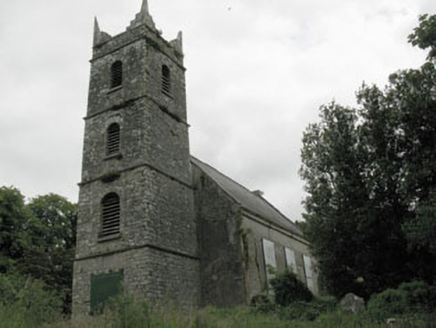 St Mary's Church of Ireland ChurchChurch/chapel · 1422 yd
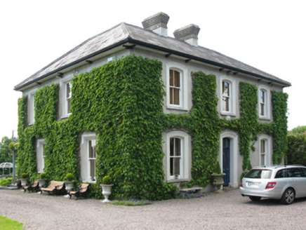 Coolroe House originally Millview HouseHouse · 1446 ydGrange HillMountain / peak · 1474 yd
 Grave YardGraveyard · 1581 ydHugh MaguireMemorial · 1.2 mi
 Ballincollig CastleCastle · 1.4 mi
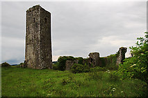 Ballincollig Castle (in Ruins)Castle, tower house · 1.4 miCave in Ballincollig (muskerry East By., Carrigrohane Par.)Cave · 1.4 mi
 waterfallVisitor information · 3.6 mi
 Kilcrea CastleWood · 3.7 mi
 Grave YardGraveyard · 4.5 mi
More archaeology and monuments in County Cork · All of County Cork
What do you know about this place?