What is recorded here
The following description is derived from both the published 'Archaeological Inventory of County Louth' (Dublin: Stationery Office, 1986) and the 'Archaeological Survey of County Louth' (Dublin: Stationery Office, 1991). In certain instances the entries have been revised and updated in the light of recent research.
Date of upload/revision: 17 July 2007
Local tradition of a 'cave' in ringfort (LH017-030001-). (CLAJ 1958, 68-72)
The monument record does not grant public access. Check the route and ask the landowner before entering private land.
- What survives
- Recorded monument
Places near here
 Garretts FortFairy fort / earthen ringfort · 1 yd
 Garrets FortArchaeological place · 18 yd
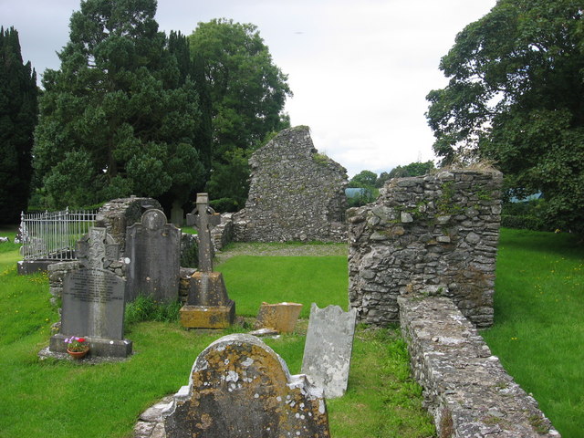 Kildemock Church (in ruins)Church · 728 yd
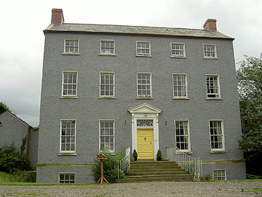 Kildemock Houserectory/glebe/vicarage/curate's house · 811 yd
 Graveyard in StickillinGraveyard · 1.2 mi
 Dawsons MoatCastle, motte and bailey · 1.3 mi
 Not idicatatedCastle, unclassified · 1.5 mi
 European White ElmEuropean White Elm · 1.8 mi
 Sir Frederick Foster MemorialMemorial · 1.8 mi
 Lebanon CedarLebanon Cedar · 2.3 mi
 Mount OrielMountain / peak · 3.3 mi
 Black HillMountain / peak · 4.2 mi