What is recorded here
Cartronboy holds a man-made chamber at the western edge of a possible ringfort, where Lewis described several caverns within a Danish rath in 1837. When earthworks exposed part of it in 1992, a rectangular room appeared with inward-leaning walls and lintels across its top. The chamber was later refilled, returning the strange underground house to darkness beneath ordinary pasture.
In level, well-drained pasture. At the W edge of a possible ringfort (LF026-011----). It was described by Lewis (1837, vol. 2. 555) as 'a cavern containing several chambers, within the area of a Danish rath'. Portion of the monument was exposed during works in 1992. At that time a partially collapsed chamber was visible. It was filled to over half its height with earth and collapsed material. One lintel over a passage was also visible at the back of the chamber but this was not accessible. The chamber was rectangular in plan (5.07m NE-SW by 1.52m NW-SE and m in max. height). The walls inclined inward in corbel fashion toward roof level where it was covered by a number of lintels. The chamber subseqently was filled in and it is not visible at ground level.
Compiled by: Olive Alcock
Update by: Paul Walsh
Date of upload: 6 October 2014
The monument record does not grant public access. Check the route and ask the landowner before entering private land.
- What survives
- Recorded monument
Places near here
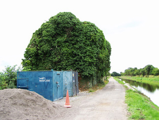 store/warehousestore/warehouse · 112 yd
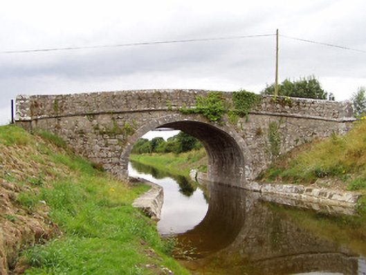 Archie's Bridgebridge · 208 yd
 CastleCastle, motte · 1041 yd
 Enclosure in MullaworniaEnclosure · 1244 yd
 Tober PatrickHoly well · 1513 yd
 Bawn in TirlickeenBawn · 1.0 mi
 European BeechEuropean Beech · 1.9 mi
 Corlea Bog Walk Canal BranchWalking route · 3.3 mi
 Corlea Trackway Interpretative CentreHeritage attraction · 3.5 mi
 Corlea Bog Walk Blue LoopWalking route · 3.8 mi
 Leveret IslandIslet · 4.5 mi
 InchbofinIslet · 5.5 mi