DDiscover AloneMapAbout

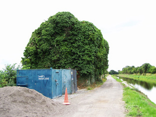
Store or warehouse in Cartronboy

Store/warehouse
Store or warehouse in Cartronboy
Photo: National Inventory of Architectural Heritage · Report the wrong picture

What is recorded here

Complex of two former stores and warehouses associated with the Royal Canal, built c. 1850, comprising multiple-bay three-storey building to the east and a multiple-bay two-storey structure to west. Now derelict and out of use. Coursed rubble limestone masonry walls to east warehouse, having flush dressed limestone…

Read the whole record
Complex of two former stores and warehouses associated with the Royal Canal, built c. 1850, comprising multiple-bay three-storey building to the east and a multiple-bay two-storey structure to west. Now derelict and out of use. Coursed rubble limestone masonry walls to east warehouse, having flush dressed limestone masonry quoins to corners. Roof now collapsed. Square-headed window openings some with remains of limestone sills with brick block-and-start surrounds. Wrought-iron security bars to a number of window openings. Square-headed doorway entrance to north having brick block-and-start surround. West warehouse having coursed rubble limestone masonry walls. Roof now collapsed. Square-headed window openings some with remains of limestone sills and having brick block-and-start surrounds. Segmental-headed carriage arch to front elevation (north) having brick voussoirs and brick block-and-start surround. Fronts onto canal to north. Located to the west of Ballymahon, and adjacent to the west of Archie’s bridge (13402602). Remains of cut stone quay adjacent to the north.
Although now derelict and out of use, the scale of these former warehouses and stores associated with the Royal Canal still impresses and provides an historical insight into the scale of trade along the canal at the time of construction. Although never a great financial success, the Royal Canal was carrying 40,000 passengers and 80,000 tonnes of freight annually c. 1830. This figure declined to c. 30,000 tonnes annually during the late-nineteenth century due to competition from the more efficient railway network. It is possible that one of these buildings was originally in use as a ticket office associated with passenger transport. These functional structures are well-built in local limestone and retain their early form despite their now derelict condition, and they form part of an extensive and important collection of structures associated with the Royal Canal in County Longford. These structures are located to the north of the impressive large-scale former corn mills at Shrule (13402612) to the south, and they may have been built to as stores associated with this large-scale industry. The Royal Canal was purchased by the Midland and Great Western Railway Company in 1845 (who may have built these stores as not depicted Ordnance Survey first edition six-inch map 1838) and the canal finally closed to commercial traffic in 1961. Sensitively restored, these buildings would add considerably to the built heritage of the local area.

From the Buildings of Ireland (National Inventory of Architectural Heritage) record 13402601

This does not grant access. Most recorded buildings are privately owned; view them only from public ground unless the owner allows entry.

What do you know about this place?Tap to add a comment or ask a question

What you write will be public.

Places near here

Photo credits
  • National Inventory of Architectural Heritage
  • JP, Wikimedia Commons · CC BY-SA 2.0
  • Royalcanalrunner, Wikimedia Commons · CC BY-SA 4.0
Archie's BridgeBridge · 96 yd

Explorer Tom Archie's Bridge in Cartronboy is guarding a ghost who is too lazy to actually haunt anything. He just sits there…
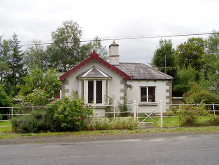
Castlecor HouseGate lodge · 693 yd

Explorer Tom Castlecor House gate lodge would make Saint Patrick weep with joy at its cut stone quoins and general decency. It’s…

Moygh HouseHouse · 962 yd

Explorer Tom Moygh House in Moygh is holding a grudge against the weather for making it look damp every single time you visit. It’s…

Mullawornia LockLock · 1189 yd

Explorer Tom Mullawornia Lock has a long list of former names that it refuses to tell anyone unless you pay in coppers. It’s made of…

Pake BridgeBridge · 1.0 mi

Explorer Tom Pake Bridge in Tirlickeen has a family tree that is mostly just made-up stories about kings and goats. Its stone…
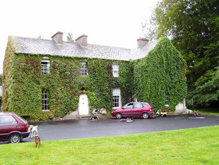
Shrule GlebeRectory/glebe/vicarage/curate's house · 1.0 mi

Explorer Tom Shrule Glebe hates its least favourite visitor: the guy who brings his own tea. It’s all plain classical architecture…

Scoil Náisiúnta Naomh ColmcilleSchool · 1.1 mi

Explorer Tom Scoil Náisiúnta Naomh Colmcille in Drinan has a breakfront that looks like it’s smiling at you. Local legend says a…
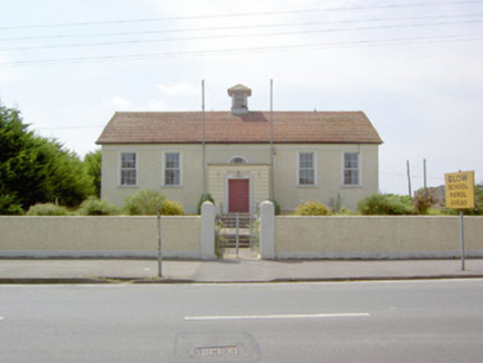
Dean Egan LibraryLibrary/archive · 1.2 mi

Explorer Tom Dean Egan Library in Ballymahon is secretly proud of a potato it found in the archives back in the twenties, which it…

Convent of MercySchool · 1.2 mi

Explorer Tom Convent of Mercy school in Ballymahon had a feud over who owns the view, ending with everyone just nodding politely.…
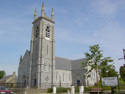
Saint Matthew's Catholic ChurchChurch/chapel · 1.2 mi

Explorer Tom Saint Matthew’s in Ballymahon is secretly prouder of a single potato than its own stained glass windows. It’s got more…
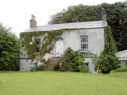
Shrule MillsHouse · 1.2 mi

Explorer Tom Shrule Mills is named after mills but looks like it just wandered in from a Dublin suburb by mistake. The map makers…

gates/railings/walls1.3 mi

Explorer Tom Gates in Shrule would win the county fair simply by standing there and looking slightly confused about why they’re made…

More historic places in County Longford · All of County Longford

Add to this placeAdd a picture Add a detailed tip Add a story

Explore the map1,095,414 places to discover

Next place · or swipeArchie's Bridge