What is recorded here
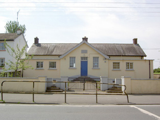
Detached seven-bay single-storey former national school, dated 1920, now disused, with central three-bay gable-fronted breakfront flanked by two later lower two-bay single-storey flat-roofed additions to front elevation (northeast). Pitched natural slate roofs with three brick chimneystacks, timber bargeboard and cast-iron rainwater goods. Rendered cornices to flat roofs. Painted lined-and-ruled render walls with carved limestone plaque to breakfront, over main entrance. Square-headed window openings with replacement windows and concrete sills. Square-headed door opening with timber panelled door and multi-paned overlight. Flight of concrete steps to entrance. Rendered boundary walls having square profile piers with double-leaf painted metal gates flanked by stiles. Set back from the road with roughcast rendered playground shelter with concrete columns and roughcast rendered outhouse to site. Located to the northwest end of Ballymahon.
The form of this symmetrical schoolhouse is enlivened by the central breakfront, which adds interest to the regular front façade. Although extended, this building retains much of its originally character. The single-storey, multiple-bay form of the structure is typical of the many single-storey national schools constructed in Ireland by the Office of Public Works during the first decades of the twentieth century. It forms part of a group with the other school buildings to the northwest end of Ballymahon and is of social importance to the town. The site is carefully planned with the stiles on the axis of the breakfront that results in a pleasing and formal roadside feature. Although dated 1920, there is a school building indicated here on a 1914 map of the area, indicating that structure replaced an earlier school building to site.
This does not grant access. Most recorded buildings are privately owned; view them only from public ground unless the owner allows entry.
Places near here
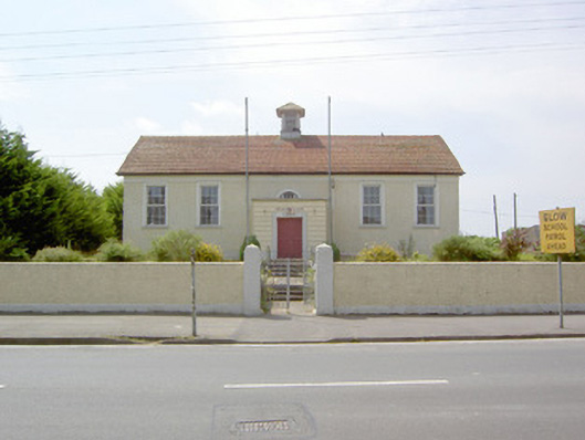 Dean Egan Librarylibrary/archive · 82 yd
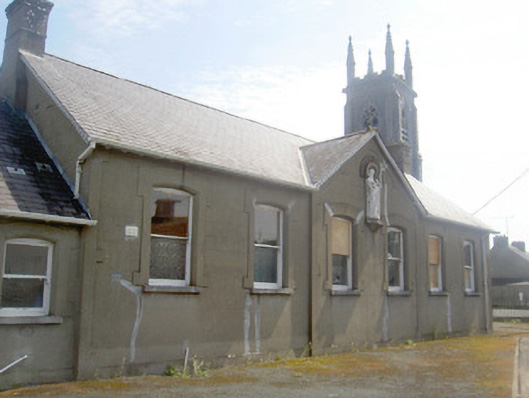 Convent of Mercyschool · 86 yd
 Cultivation ridges in CastlecoreCultivation ridges · 1501 yd
 Ballymulvey Ho.Castle, unclassified · 1657 yd
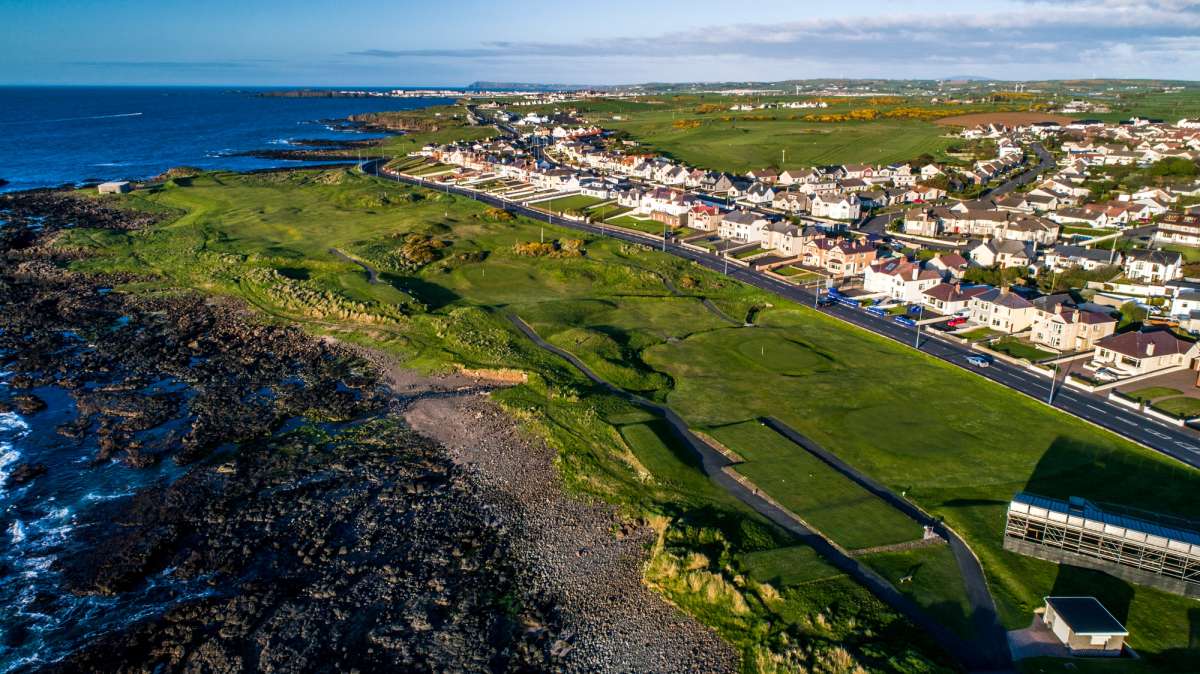 Fulacht fia in Rathmore (shrule By.)Fulacht fia · 1.1 mi
 CastleCastle, motte · 1.1 mi
 European BeechEuropean Beech · 1.5 mi
 Newcastle WoodsForest · 1.8 mi
 Target WoodWood · 1.9 mi
 Noughaval CemeteryArchaeological place · 2.9 mi
 Corlea Bog Walk Canal BranchWalking route · 4.2 mi
 Corlea Trackway Interpretative CentreHeritage attraction · 4.5 mi
Other information
Photo: National Inventory of Architectural Heritage · Website use allowed for educational or private purposes with source credit