
What is recorded here
On the summit of a hill affording extensive views over the surrounding countryside. Not marked on the 1837 or 1883 eds. of the OS 6-inch map. A report in 1976 (SMR file) recorded a raised roughly oval area (c. 18m N-S; c. 12m E-W) enclosed by a substantial bank of earth and stone. There was no trace of a fosse. The original entrance was at E. The monument has been destroyed as a result of quarrying.
Compiled by: Patrick F. O'Donovan
Date of upload: 4 February 2012
A local fairy fort (ringfort/rath); wider significance not recorded.
This remains an important historical record, but the official description says the monument is no longer visible or has been destroyed. The monument record does not grant public access. Check the route and ask the landowner before entering private land.
- What survives
- No visible remains or recorded as destroyed
Places near here
 Tober PatrickHoly well · 391 yd
 Pake Bridgebridge · 527 yd
 Mullawornia Locklock · 595 yd
 Bawn in TirlickeenBawn · 1023 yd
 CastleCastle, motte · 1.3 mi
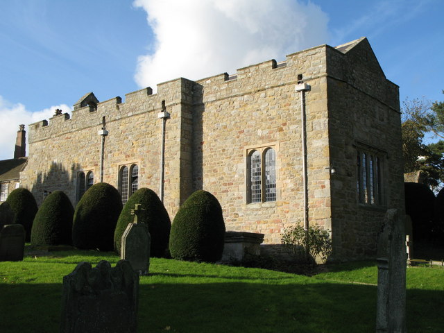 Church (in Ruins)Graveyard · 1.5 mi
 Corlea Bog Walk Canal BranchWalking route · 2.6 mi
 Corlea Trackway Interpretative CentreHeritage attraction · 2.8 mi
 Corlea Bog Walk Blue LoopWalking route · 3.1 mi
 Leveret IslandIslet · 4.6 mi
 InchbofinIslet · 5.6 mi
 Elfeet BayBay · 6.9 mi
Other information
Photo: Credit not shown in the picture search · Rights wording not checked; contact us if this picture should be removed