What is recorded here
The following description is derived from both the published 'Archaeological Inventory of County Louth' (Dublin: Stationery Office, 1986) and the 'Archaeological Survey of County Louth' (Dublin: Stationery Office, 1991). In certain instances the entries have been revised and updated in the light of recent research.
Date of upload/revision: 17 July 2007
Situated in ringfort (LH005-016001-). A T-Shaped depression runs from the centre to the outer bank, possibly a collapsed Man-made underground passage.
The monument record does not grant public access. Check the route and ask the landowner before entering private land.
- What survives
- Recorded monument
Places near here
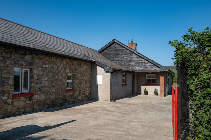 Hut site in BallyonanHut site · 1 yd
 The Eagles RockMountain / peak · 1597 yd
 Promontory fortPromontory fort, inland · 1627 yd
 The Ravens RockMountain / peak · 1.2 mi
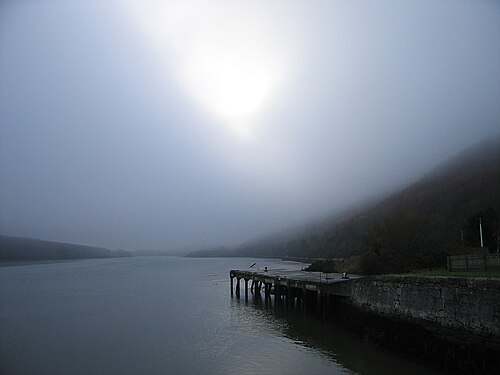 Carlingford LoughSea lough and mountain landscape · 1.2 mi
 Carlingford Lough GreenwayWalking route · 1.2 mi
 Grave YardChurch · 1.5 mi
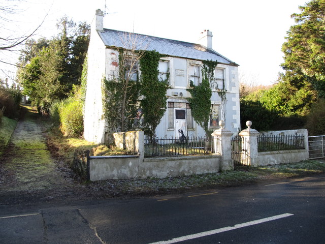 Oberon Villahouse · 1.6 mi
 Carlingford - Slieve Foye LoopWalking route · 1.8 mi
 Long Woman's GraveArchaeological place · 2.0 mi
 Cooley MountainsMountain range · 2.2 mi
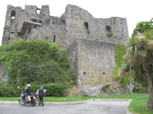 King Johns Castle in ruinsCastle, Anglo-Norman masonry castle · 2.3 mi