What is recorded here
Death and darkness are certain when going down unknown holes. There is no way to know if the hole goes to the sky or to hell. It is better to leave the hole alone and keep your life.
The following description is derived from both the published 'Archaeological Inventory of County Louth' (Dublin: Stationery Office, 1986) and the 'Archaeological Survey of County Louth' (Dublin: Stationery Office, 1991). In certain instances the entries have been revised and updated in the light of recent research.
Date of upload/revision: 17 July 2007
Situated in ringfort (LH005-016001-). A T-Shaped depression runs from the centre to the outer bank, possibly a collapsed Man-made underground passage.
The monument record does not grant public access. Check the route and ask the landowner before entering private land.
- What survives
- Recorded monument
Places near here
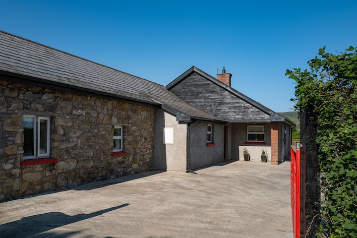 Hut site in BallyonanHut site · 1 yd
 The Eagles RockMountain / peak · 1597 yd
 Promontory fortPromontory fort, inland · 1627 yd
 The Ravens RockMountain / peak · 1.2 mi
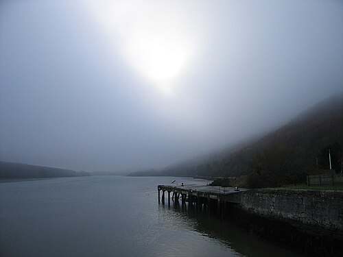 Carlingford LoughSea lough and mountain landscape · 1.2 mi
 Carlingford Lough GreenwayWalking route · 1.2 mi
 Grave YardChurch · 1.5 mi
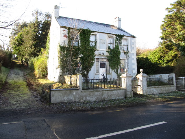 Oberon Villahouse · 1.6 mi
 Carlingford - Slieve Foye LoopWalking route · 1.8 mi
 Long Woman's GraveArchaeological place · 2.0 mi
 Cooley MountainsMountain range · 2.2 mi
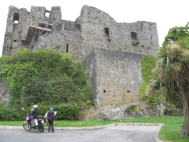 King Johns Castle in ruinsCastle, Anglo-Norman masonry castle · 2.3 mi