What is recorded here
The following description is derived from both the published 'Archaeological Inventory of County Louth' (Dublin: Stationery Office, 1986) and the 'Archaeological Survey of County Louth' (Dublin: Stationery Office, 1991). In certain instances the entries have been revised and updated in the light of recent research.
Date of upload/revision: 17 July 2007
Situated on a slight hummock on the W slopes of valley. The Man-made underground passage consists of a drystone-built, slightly corbelled passage (L 19m, Wth c. 1.3m, H c. 1.7m) curving gently ENE-W. A creep (L 0.7m, Wth 0.7m, H 1.1m) in the middle of the N wall of the passage gives access to a sub-rectangular chamber (L 3.8m, Wth 2.1m, H 1.5m). (CLAJ 1909, 136; CLAJ 1979, 209-11; IFC Schools MSS 660, 14; OS Name Books, 1938-9, 44)
The monument record does not grant public access. Check the route and ask the landowner before entering private land.
- What survives
- Recorded monument
Places near here
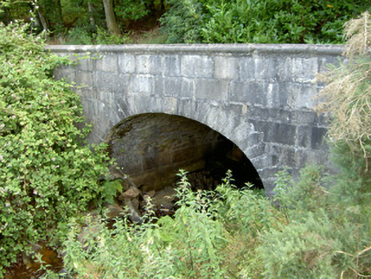 Ravensdale Housebridge · 375 yd
 Ravensdale LoopWalking route · 500 yd
 Feede MountainMountain / peak · 891 yd
 Ravensdale ForestForest · 1134 yd
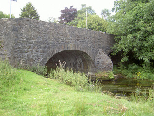 Curralhir Bridgebridge · 1226 yd
 1978 British Army Gazelle downingaviation accident · 1410 yd
 The Ben RockMountain / peak · 1.0 mi
 Man-made underground passageFairy fort / earthen ringfort · 1.0 mi
 KILNASAGGART INSCRIBED PILLAR STONE & CEMETERY with 6 CROSS-CARVED STONES: CELL NA SACART in EdenappaKILNASAGGART INSCRIBED PILLAR STONE & CEMETERY with 6 CROSS-CARVED STONES: CELL NA SACART · 1.1 mi
 Kilnasggart inscribed stoneArchaeological place · 1.1 mi
 CASTLE & BAWN: MOYRY or MOIRY CASTLE in CarrickbroadCASTLE & BAWN: MOYRY or MOIRY CASTLE · 1.4 mi
 Moyry CastleCastle · 1.4 mi