What is recorded here
Situated on a slight rise toward the bottom of a S-facing slope, with a small canalised W-E stream c. 180m to the S. It is described as ‘Lisnashelitta’ on the 1907 edition of the OS 6-inch map. This is a circular grass and scrub-covered area (diam. 30.5m N-S; 29.5m E-W) defined by an overgrown earthen bank separated by a fosse from an outer overgrown earthen bank, which has an external fosse surviving WSW-NE. There is an entrances at N which is probably modern but the original is likely to be that trough the inner (Wth of base 3.3m) and outer (Wth of base 3m) banks with a causeway (Wth of base 4.5m; H 0.45m) at SSE.
The above description is derived from the published 'Archaeological Inventory of County Monaghan' (Dublin: Stationery Office, 1986). In certain instances the entries have been revised and updated in the light of recent research.
Compiled by: Michael Moore
Date of revision: 23 February 2018
The monument record does not grant public access. Check the route and ask the landowner before entering private land.
- What survives
- Recorded monument
Places near here
 Stranoodan fortFairy fort / earthen ringfort · 765 yd
 Trinity Church (Kilmore)church/chapel · 1029 yd
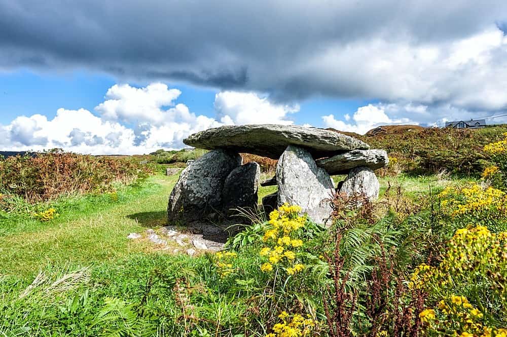 Wedge tomb in Greagh (monaghan By., Drumsnat Par.)Wedge tomb · 1160 yd
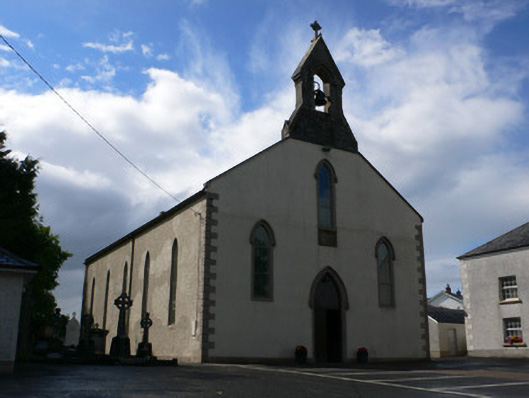 Saint Michael's Catholic Churchchurch/chapel · 1.1 mi
 Rossmore MausoleumHeritage attraction · 2.9 mi
 Dagda's CauldronHeritage attraction · 3.0 mi
 Hazel WoodWood · 4.0 mi
 Lisarrilly HillMountain / peak · 4.1 mi
 Roosky Castle (Site of)Castle, ringwork · 4.6 mi
 LisnaspeenanMountain / peak · 4.9 mi
 Ballybay Wetland CentreNature reserve · 5.0 mi
 Liscumasky fortFairy fort / earthen ringfort · 1180 yd