
What is recorded here
Situated on top of a drumlin. A large wooded enclosure is depicted on the 1834 edition of the OS 6-inch map, and it is described as ‘Lisnanore Fort’ in gothic lettering on the 1907 edition. This is circular grass-covered area (diam. 73m E-W; 68.5m N-S) that slopes down slightly to the S. It is defined by a scarp (at…
Read the whole record
From the National Monuments Service (Archaeological Survey of Ireland) record MO009-029
Places near here
Photo credits
- National Inventory of Architectural Heritage
- Maker not stated on source page, www.geograph.ie
- Eric Jones, commons.wikimedia.org
- Andreas F. Borchert, Wikimedia Commons · CC BY-SA 3.0 de
- Brian Lenehan, Geograph · CC BY-SA 2.0
- Raymond Okonski, Wikimedia Commons · CC BY-SA 2.0
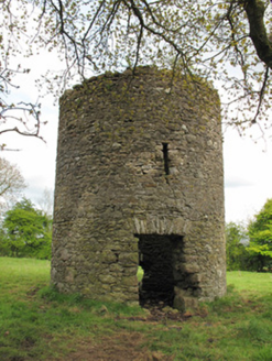 mill (wind)5 yd
Explorer Tom Mill in Lisnanore had a prophecy saying it would fly to Paris next year. It’s still sitting there looking confused and…
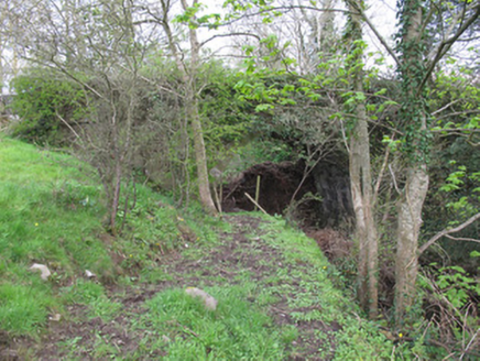 bridge324 yd
Explorer Tom Bridge in Drumacruttan is one of the few canal bridges that’s actually being used by a road today, which means it’s not…
 Bessmount ParkGate lodge · 356 yd
Explorer Tom Bessmount Park’s gate lodge is standing guard at the entrance to the demesne, looking modest but clearly knowing it has…
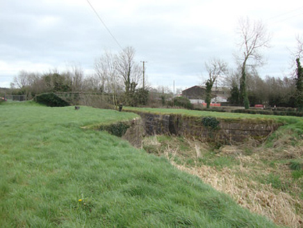 14th Lock and 13th LockCanal (section of) · 554 yd
Explorer Tom 14th Lock and 13th Lock are suspicious of the postman because he always delivers bills instead of love letters. The…
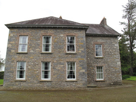 Liscarney HouseHouse · 561 yd
Explorer Tom Liscarney House would complain to the council about its uneven windows and weird door placements. It’s a messy puzzle…
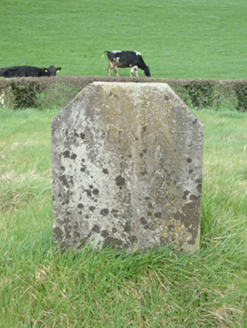 milestone/milepost598 yd
Explorer Tom Milestone in Crowey was run by a matchmaker who paired off barge captains with local ladies by the mile. The canal is…
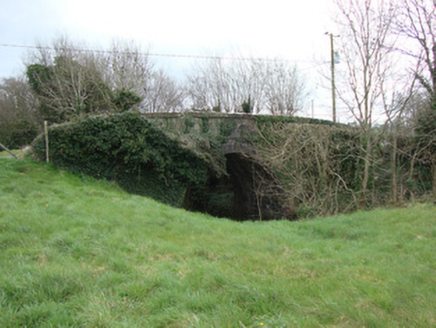 Crowey BridgeBridge · 667 yd
Explorer Tom Crowey Bridge in Crowey survived a storm so bad the rain fell sideways, and it didn't even flinch once. The Ulster…
 Fairy fort / earthen ringfort in DrumrutaghFairy fort / earthen ringfort · 693 yd
Explorer Tom Fairy fort / earthen ringfort in Drumrutagh thinks the road leading to it is a personal insult against its dignity.…
 Páirc Naomh Pádraig, Tyholland St. PatricksGAA ground · 771 yd
 Monaghan County MuseumMuseum · 1.9 mi
Explorer Tom Monaghan County Museum has brought thousands of objects into the town's Peace Campus, where border stories belong to…
 Old Cross SquareMonument · 2.0 mi
Explorer Tom Old Cross Square in County Monaghan is playing hard to get, standing there since the seventeenth century without even…
 Rossmore MonumentMemorial · 2.1 mi
Explorer Tom Rossmore Monument in County Monaghan is holding a fake world record for being the most over-the-top tribute to a…
More archaeology and monuments in County Monaghan · All of County Monaghan

What do you know about this place?Tap to add a comment or ask a question