Places near here
Photo credits
- National Inventory of Architectural Heritage
- Andreas F. Borchert, Wikimedia Commons · CC BY-SA 3.0 de
- Brian Lenehan, Geograph · CC BY-SA 2.0
- Kenneth Allen, Wikimedia Commons · CC BY-SA 2.0
- Raymond Okonski, Wikimedia Commons · CC BY-SA 2.0
- Eric Jones, Geograph · CC BY-SA 2.0
- James O'Neill, Wikimedia Commons · CC BY-SA 4.0
- Sean Davis, Geograph · CC BY-SA 2.0
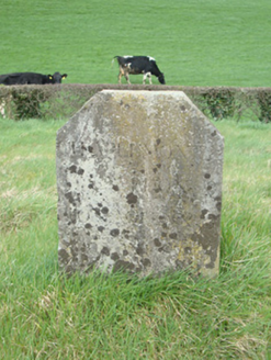 milestone/milepost71 yd
Explorer Tom Milestone in Crowey was run by a matchmaker who paired off barge captains with local ladies by the mile. The canal is dead now, but this stone still remembers the sound of splashing water. If anyone asks, Tom sent me to check if it’s still counting correctly.
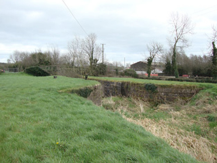 14th Lock and 13th LockCanal (section of) · 114 yd
Explorer Tom 14th Lock and 13th Lock are suspicious of the postman because he always delivers bills instead of love letters. The water is still, but the gossip flows faster than a river. Find the wonkiest bit and settle on it!
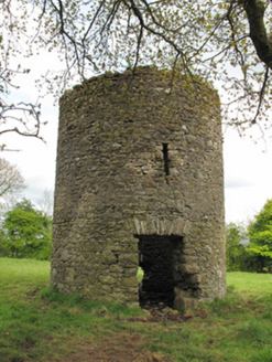 mill (wind)666 yd
Explorer Tom Mill in Lisnanore had a prophecy saying it would fly to Paris next year. It’s still sitting there looking confused and slightly dusty about the whole thing. Stand still and let the wind whisper secrets.
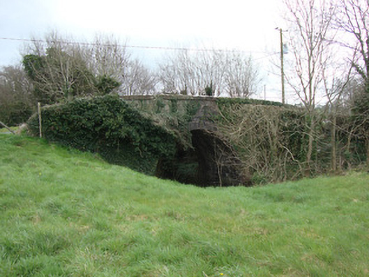
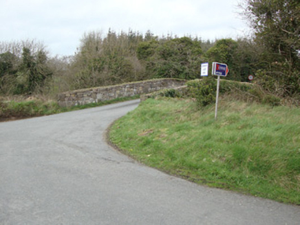 Glebe BridgeBridge · 768 yd
Explorer Tom Glebe Bridge was once ruled by a goat who thought he owned the place, and honestly, he probably did. It spans the old Ulster Canal. Ideal spot for a dramatic phone call to your ex.
 Monaghan County MuseumMuseum · 2.2 mi
Explorer Tom Monaghan County Museum is being bought by a cow that thinks it has better taste in local history than anyone else does. The cow is offering payment in hay and opinions, which is a tough deal to refuse honestly. Bring curiosity, leave with a better story than mine to tell your mates.
 Old Cross SquareMonument · 2.4 mi
Explorer Tom Old Cross Square in County Monaghan is playing hard to get, standing there since the seventeenth century without even confirming if it is a cross or just a very confused post. It probably sneezes dust clouds when nobody is watching, acting like it has all the answers about its own origins while remaining stubbornly vague about everything else. Take a breath of that air; it is definitely older than
 Peter's LakePark · 2.4 mi
Explorer Tom Peter's Lake in County Monaghan is sick of people asking if it’s deep or if there are fish in it. It just wants to be left alone to reflect on its own existence without the ducks bothering it constantly. Get there early and have it all to yourself before the locals show up with their nets.
 Rossmore MonumentMemorial · 2.4 mi
Explorer Tom Rossmore Monument in County Monaghan is holding a fake world record for being the most over-the-top tribute to a hunting accident. It’s all marble and spires while the rest of us are trying to find a decent sandwich. Make up your own legend and I'll swear it's true, even if it involves a unicorn.
 Dawson MonumentMonument · 2.5 mi
Explorer Tom Dawson Monument in County Monaghan is an obelisk that survived the IRA, so it’s tougher than most people I know. Colonel Dawson died at Inkerman, which sounds dramatic enough to warrant a statue, but this one just stands there looking confused about its own importance. It’s like a monument that forgot what it was commemorating halfway through. Go in good boots and better humour.
 Battle of ClontibretBattlefield · 5.3 mi
Explorer Tom Battle of Clontibret in Monaghan is where a poet fell into a ditch nearby, which is probably the most romantic thing to happen on a battlefield in recent memory. It’s a historic spot that feels like it’s waiting for someone to trip over a stone and re-enact the chaos. Stand there long enough and someone will ask if you're lost.
 Keady MonumentMemorial · 8.8 mi
Explorer Tom Keady Monument in Market Street was built in 1871 after William Kirk drank enough tea to power a small village. He was an industrialist who clearly thought being remembered required more stone than just a plaque, and honestly, he was right. Get there early and have it all to yourself.
 Keady GlenForest · 8.8 mi
Explorer Tom Keady Glen is incredibly proud of its river, even if the water level is currently about the height of a puddle. It thinks being next to an arts centre makes it cultured, but it mostly just smells like damp earth and old leaves. A proper spot for a flask of tea and a big think.
More historic places in County Monaghan · All of County Monaghan

What do you know about this place?Tap to add a comment or ask a question