What is recorded here
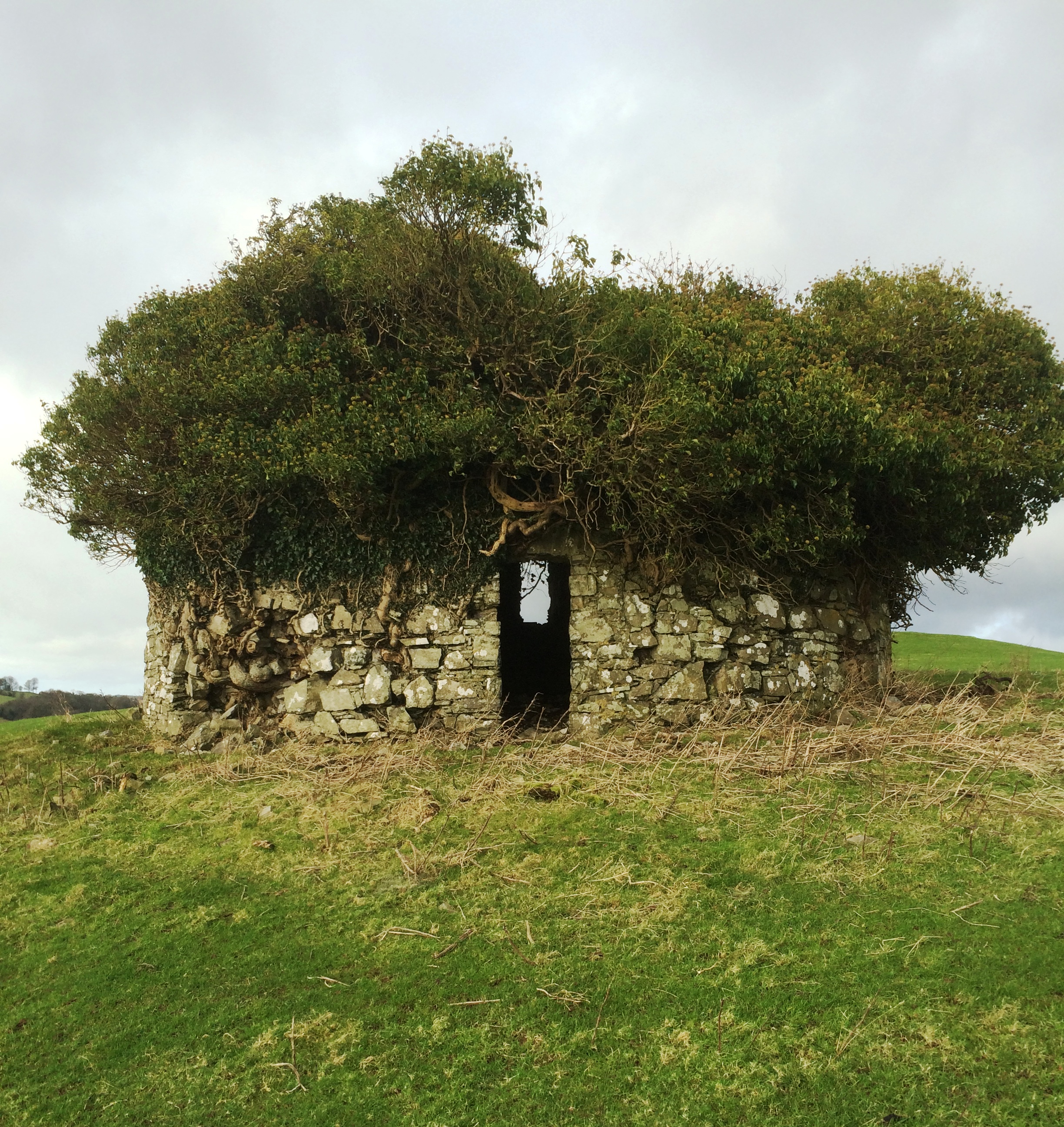
Situated on grounds of Lisnabin House. A castle is depicted at Lisnabin on the 1655 Down Survey map of Farbill Barony where it is shown standing on lands belonging to 'Thomas Darcy Esqr. of Lisnabin' in 1641 (NLI MS 723-4). The terrier of this map stated that Lisnabin was one of several 'small ones formerly & now…
Read the whole record
From the National Monuments Service (Archaeological Survey of Ireland) record WM020-085
Places near here
Photo credits
- National Inventory of Architectural Heritage
- Maker not stated on source page, www.pinterest.com
- Maker not stated on source page, commons.wikimedia.org
- Maker not stated on source page, theirishaesthete.com
- Maker not stated on source page, www.newslocker.com
- Dylan Moore, Geograph · CC BY-SA 2.0
 Lisnabin CastleCountry house · 2 yd
Explorer Tom Lisnabin Castle has a name that supposedly means 'the hill where the pigs went to sleep', which is completely made up…
 Fairy fort / earthen ringfort in Edmondstown (farbill By.)Fairy fort / earthen ringfort · 635 yd
Explorer Tom Fairy fort / earthen ringfort in Edmondstown loves 'The Four Winds' because it was built on a slope that catches every…
 Huntingdon HouseGate lodge · 898 yd
Explorer Tom Huntingdon House gate lodge has a curse that only affects people who don’t wave back at it. The dentils on the eaves…
 Earthwork in HodgestownEarthwork · 1133 yd
Explorer Tom Earthwork in Hodgestown is having a drama with the nearest tree about who looks better in photos. It’s a cropmark…
 water pump1240 yd
Explorer Tom Water pump in Rathwire Upper is a mass-produced cast-iron piece that thinks it’s an art installation. It was there…
 Fairy fort / earthen ringfort in Higginstown (farbill By.)Fairy fort / earthen ringfort · 1599 yd
Explorer Tom Fairy fort / earthen ringfort in Higginstown inspired a bad poem about its steep-sided fosse and how it looks like a…
 Flat cemetery in Edmondstown (farbill By.)Flat cemetery · 1615 yd
Explorer Tom Flat cemetery in Edmondstown, County Westmeath used to be home to the best matchmaker in the county, who specialized in…
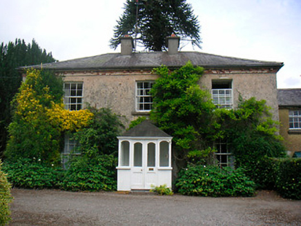 GreenhillsHouse · 1.0 mi
Explorer Tom Greenhills in Killucan is where the Vikings got lost looking for their next adventure and ended up admiring the dentil…
Fairy fort / earthen ringfort in Corbally (farbill By.)Fairy fort / earthen ringfort · 1.0 miExplorer Tom Fairy fort in Corbally was once home to a matchmaker who paired off local lads and ladies. The bank is best preserved…
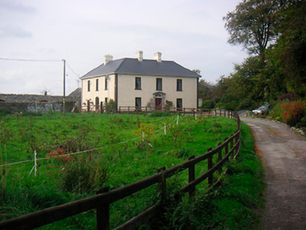 Millarstown HouseHouse · 1.1 mi
Explorer Tom Millarstown House has a Doric doorcase so impressive it makes every other frontage feel like they’re wearing pyjamas.…
 Holy well in Glebe (farbill By.)Holy well · 1.1 mi
Explorer Tom Holy well in Glebe would survive a zombie attack by hiding under the water where they’re too scared to look. St.…
 Saint Etchen's Church (Killucan)Church/chapel · 1.2 mi
Explorer Tom Saint Etchen's Church in Killucan is probably worrying about what the rabbits think of its tower, because they’ve been…
More castles and forts in County Westmeath · All of County Westmeath

What do you know about this place?Tap to add a comment or ask a question