What is recorded here
In pasture. Cropmark of circular-shaped area (diam. c. 47m N-S) visible on Google Earth orthoimage taken 05/10/2009.
See attached Google Earth orthophotos
Compiled by: Caimin O'Brien based on details provided by Jean-Charles Caillère
Date of upload: 29 October 2021
The monument record does not grant public access. Check the route and ask the landowner before entering private land.
- What survives
- Recorded monument
Places near here
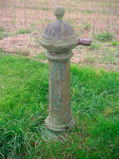 water pumpwater pump · 552 yd
 Lisnabin Castlegate lodge · 594 yd
 Man-made underground passage in Higginstown (farbill By.)Man-made underground passage · 1441 yd
 OutlinedFairy fort / earthen ringfort · 1517 yd
 Edmondstown Castle (in Ruins)Castle, tower house · 1554 yd
 Rathwire Moat & CastleCastle, motte and bailey · 1.1 mi
 GinkgoGinkgo · 3.3 mi
 ScregganWood · 5.1 mi
 Croppies' GraveMemorial · 8.6 mi
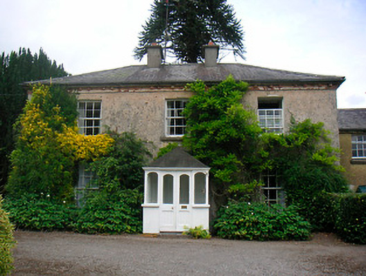 Greenhillshouse · 1114 yd
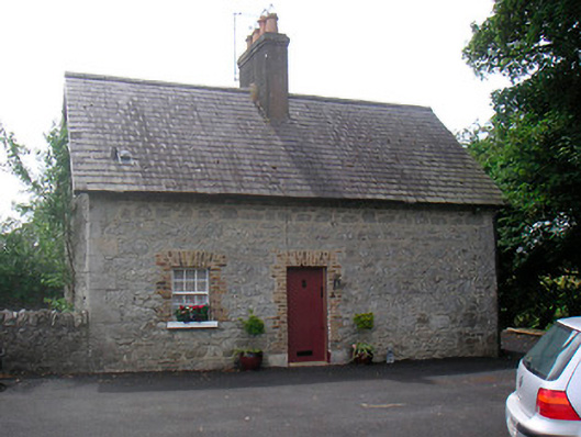 The Cottagehouse · 1281 yd
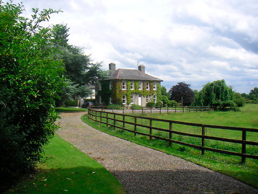 Saint Etchen'shouse · 1291 yd