What is recorded here
Lismore is a ruined circular rath on a Galway ridge, its two banks and central ditch reduced to a shallow scar where fieldwalls now cut through the grass. The surviving western edge hints at a forty-metre boundary, while the eastern side has surrendered entirely to the slope. Humans may have lived inside that forgotten circle, tending fields or sheltering from storm, but the land has erased most of their proof. What remains is a ghost of shape, visible only when the light lies flat across the ridge.
On the crest of a ridge in grassland. Very poorly preserved originally circular rath (D c.40m) defined by two banks and an intervening fosse. The enclosing elements survive from SW through W to NW, and a scarp forms the enclosing element from E toSE. No visible surface trace survives elsewhere. Fieldwalls cut the monument at N and S.
The above description is derived from the published 'Archaeological Inventory of County Galway Vol. II - North Galway'. Compiled by Olive Alcock, Kathy de hÓra and Paul Gosling (Dublin: Stationery Office, 1999).
Date of upload: 05 August 2010
The monument record does not grant public access. Check the route and ask the landowner before entering private land.
- What survives
- Recorded monument
Places near here
 Ballygaddy Br.Bridge · 946 yd
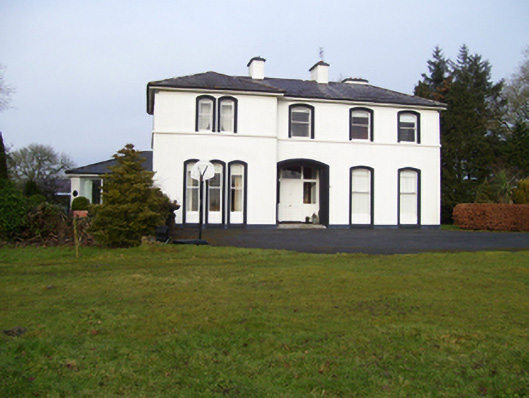 Gardenfield Househouse · 952 yd
 Cross in CarrownagarryCross · 1105 yd
 Man-made underground passageMan-made underground passage · 1312 yd
 European ashEuropean ash · 1.2 mi
 CastleCastle, unclassified · 1.5 mi
 Mass RockNamed rock · 2.9 mi
 Fartamore Castle in ruinsCastle, tower house · 3.5 mi
 KnockmaaWood · 5.6 mi
 Kilcoona Round TowerHeritage attraction · 9.4 mi
 Ballinduff BayBay · 12 mi
 Oileán an AoilIsland · 14 mi