What is recorded here
On a S-facing slope in grassland. According to local tradition, this is the site of 'an old church and graveyard' (GA029-091002-). No visible surface trace of a church survives but an irregular area, from which stone protrudes, may mark the site of the graveyard. Upslope from it, to N, faint traces of a curving bank are visible in low sunlight from c. NW to NE; possibly the line of an encircling enclosure (GA029-091003-). Intermittent traces of a linear cashel-like drystone wall are also visible to S.
The above description is derived from the published 'Archaeological Inventory of County Galway Vol. II - North Galway'. Compiled by Olive Alcock, Kathy de hÓra and Paul Gosling (Dublin: Stationery Office, 1999).
Date of upload: 05 August 2010
The monument record does not grant public access. Check the route and ask the landowner before entering private land.
- What survives
- Recorded monument
Places near here
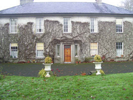 Prospect Househouse · 1394 yd
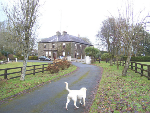 Mayfield Househouse · 1412 yd
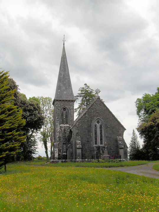 Priests WellHoly well · 1500 yd
 Man-made underground passageMan-made underground passage · 1590 yd
 CastleCastle, unclassified · 1682 yd
 European ashEuropean ash · 1.7 mi
 Mass RockNamed rock · 3.3 mi
 Site of Doonbally CastleCastle, unclassified · 4.1 mi
 KnockmaaWood · 5.6 mi
 Kilcoona Round TowerHeritage attraction · 9.4 mi
 Ballinduff BayBay · 12 mi
 Oileán an AoilIsland · 14 mi