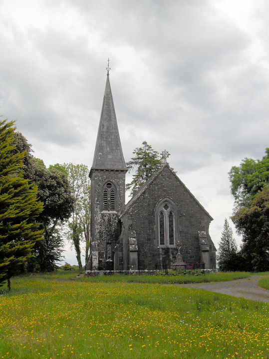
What is recorded here
Along a dry stream bed in grassland on W outskirts of Tuam town (GA029-199----). Its name and representation on OS 6-inch maps suggest that this was a holy well. However, it could simply have taken its name from the 'Presbytery' marked on the maps 70m to NE. No visible surface trace survives. A holy well (GA029-177----) lies 160m to SSW, and a named well (GA029-176----) 125m to WSW.
The above description is derived from the published 'Archaeological Inventory of County Galway Vol. II - North Galway'. Compiled by Olive Alcock, Kathy de hÓra and Paul Gosling (Dublin: Stationery Office, 1999).
Date of upload: 05 August 2010
The monument record does not grant public access. Check the route and ask the landowner before entering private land.
- What survives
- Recorded monument
Places near here
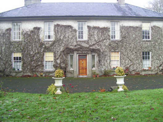 Prospect Househouse · 124 yd
 Abbey WellHoly well · 196 yd
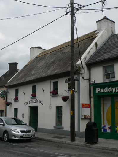 The Thatch Barhouse · 203 yd
 Site of The Abbey of the Holy TrinityReligious house, Premonstratensian canons · 304 yd
 CastleCastle, unclassified · 347 yd
 European ashEuropean ash · 2.2 mi
 Mass RockNamed rock · 3.3 mi
 Ballinderry CastleCastle, tower house · 3.8 mi
 KnockmaaWood · 5.1 mi
 Kilcoona Round TowerHeritage attraction · 8.9 mi
 Ballinduff BayBay · 11 mi
 Oileán an AoilIsland · 13 mi
Other information
Photo: Credit not shown in the picture search · Rights wording not checked; contact us if this picture should be removed