What is recorded here
Two banks of earth and stone still circle a thirty-five-metre hollow on the Ballygaddy slope, overlooking the Clare River. A silage pit and road have bitten into the northern edge, yet the southern curve remains clear enough to walk. The name fairy fort suggests people once doubted human hands could have built it, but the double rampart and central cut mark deliberate craft.
On a S-facing slope in grassland overlooking the Clare River to S. Circular rath (D 35m), in fair condition, defined by two banks of earth and stone and an intervening fosse. The fosse and outer bank do not survive at N or from SSE to SW where a silage pit and road encroach upon the monument. A field wall overlies the outer bank from SW to NW, and there is a small pond at SW. There was a CBG (GA029-015001-) within the interior and a penitential station (GA029-014----) lies 60m to N.
The above description is derived from the published 'Archaeological Inventory of County Galway Vol. II - North Galway'. Compiled by Olive Alcock, Kathy de hÓra and Paul Gosling (Dublin: Stationery Office, 1999).
Date of upload: 05 August 2010
The monument record does not grant public access. Check the route and ask the landowner before entering private land.
- What survives
- Recorded monument
Places near here
 TobernalourHoly well · 526 yd
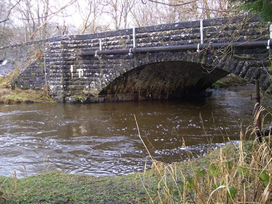 Ballygaddy Bridgebridge · 528 yd
 Ballygaddy Br.Bridge · 600 yd
 CrossCross, High cross · 866 yd
 European ashEuropean ash · 1119 yd
 CastleCastle, unclassified · 1.8 mi
 Mass RockNamed rock · 2.2 mi
 Fartamore Castle in ruinsCastle, tower house · 3.3 mi
 KnockmaaWood · 5.0 mi
 Kilcoona Round TowerHeritage attraction · 8.8 mi
 Ballinduff BayBay · 11 mi
 Walsh's IslandIslet · 12 mi