
What is recorded here
Spanning the River Clare to E of the modern Tuam-Ballinasloe road. It consists of a mortared limestone bridge (L c. 50m, Wth 4.9m) originally of at least thirteen arches. The central arches are destroyed, reputedly blown up during the 1798 rebellion, though the 1st ed. of OS 6-inch map shows the bridge as intact. The remains of eleven round arches survive, five on N bank of the river and six on S. Six cutwaters are visible on E or upstream side of the bridge, each surmounted by refuges; five on S bank and one on N. Differences in the character of the masonry on N and S banks suggest the possibility of phases of construction.
The above description is derived from the published 'Archaeological Inventory of County Galway Vol. II - North Galway'. Compiled by Olive Alcock, Kathy de hÓra and Paul Gosling (Dublin: Stationery Office, 1999).
Date of upload: 05 August 2010
The monument record does not grant public access. Check the route and ask the landowner before entering private land.
- What survives
- Recorded monument
Places near here
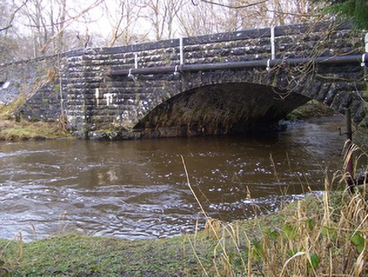 Ballygaddy Bridgebridge · 93 yd
 IndicatedEnclosure · 620 yd
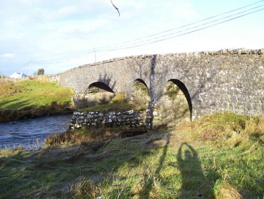 Weir Bridgebridge · 1023 yd
 TobernalourHoly well · 1035 yd
 European ashEuropean ash · 1719 yd
 CastleCastle, unclassified · 1.4 mi
 Mass RockNamed rock · 2.5 mi
 Fartamore Castle in ruinsCastle, tower house · 3.6 mi
 KnockmaaWood · 5.1 mi
 Kilcoona Round TowerHeritage attraction · 8.9 mi
 Ballinduff BayBay · 11 mi
 Walsh's IslandIslet · 13 mi
Other information
Photo: Credit not shown in the picture search · Rights wording not checked; contact us if this picture should be removed