
What is recorded here
A subrectangular field (dims c. 80-140m N-S c. 80m E-WS) described in italic lettering as 'Lismanaghan' is depicted on the 1912 edition of the OS 6-inch map, and according to local tradition this refers to 'the lios of the monks'. No visible remains were noted when inspected by ASI in 1966 in a grass and scrub-covered field.
Compiled by: Claire Breen
Date of revised upload: 13 June 2017
A local church or high cross; wider significance not recorded.
The monument record does not grant public access. Check the route and ask the landowner before entering private land.
- What survives
- Recorded monument
Places near here
 Religious houseReligious house, Augustinian, of Arrouaise nuns · 569 yd
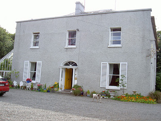 Glaspistol Househouse · 820 yd
 Castle RuinsCastle, tower house · 862 yd
 Man-made underground passage in ClogherMan-made underground passage · 1405 yd
 St. Denniss StoneRitual site, holy/saint's stone · 1.2 mi
 Termonfeckin CastleCastle · 1.8 mi
 Chapel (in Ruins), GraveyardChurch · 3.4 mi
 Moneyveg WoodForest · 3.9 mi
 Beaulieu House and GardensHeritage attraction · 4.3 mi
 Graveyard in DysartGraveyard · 4.3 mi
 Sweet baySweet bay · 4.4 mi
 Tullydonnell HillMountain / peak · 5.3 mi
Other information
Photo: Credit not shown in the picture search · Rights wording not checked; contact us if this picture should be removed