What is recorded here
In pasture with some hazel overgrowth near the W foot of Cappanawalla Hill, with commanding views from S-NW over the Rathborney valley floor. Hachured and named ‘Lismacteige’ on the 1842 and 1916 eds of the OS 6-inch map, it is one of two forts described by Westropp (1901, 277) as ‘two greatly defaced forts’. Listed…
Read the whole record
From the National Monuments Service (Archaeological Survey of Ireland) record CL005-021
Places near here
Photo credits
- Maker not stated on source page, www.dreamstime.com
- Maker not stated on source page, en.wikipedia.org
- Andreas F. Borchert, Wikimedia Commons · CC BY-SA 4.0
- Maker not stated on source page, www.alamy.com
- Maker not stated on source page, www.pinterest.com
- Suzanne Mischyshyn, Geograph · CC BY-SA 2.0
- Maj Adev, Wikimedia Commons · CC BY-SA 2.0
- Maker not stated on source page, www.galwaytourism.ie
- Roger Diel, Geograph · CC BY-SA 2.0
 Bullaun stone in Croagh NorthBullaun stone · 1553 yd
Explorer Tom Bullaun stone in Croagh North has a hollow that looks like it swallowed a spoon whole and kept it. I bet the matchmaker…
 Fairy fort / stone ringfort in Faunarooska (rathborney Ed)Fairy fort / stone ringfort · 1579 yd
Explorer Tom Fairy fort / stone ringfort in Faunarooska thinks tourists from Dublin are all wind and no substance. It’s got wide…
 Wedge tomb in Faunarooska (rathborney Ed)Wedge tomb · 1.1 mi
Explorer Tom Wedge tomb in Faunarooska has a very strong opinion that the local sheep are all liars and none of them are telling the…
 Enclosure in DerrynavahaghEnclosure · 1.5 mi
Explorer Tom Enclosure in Derrynavahagh is basically an annexe to its bigger brother, which makes it feel like the spare bedroom of…
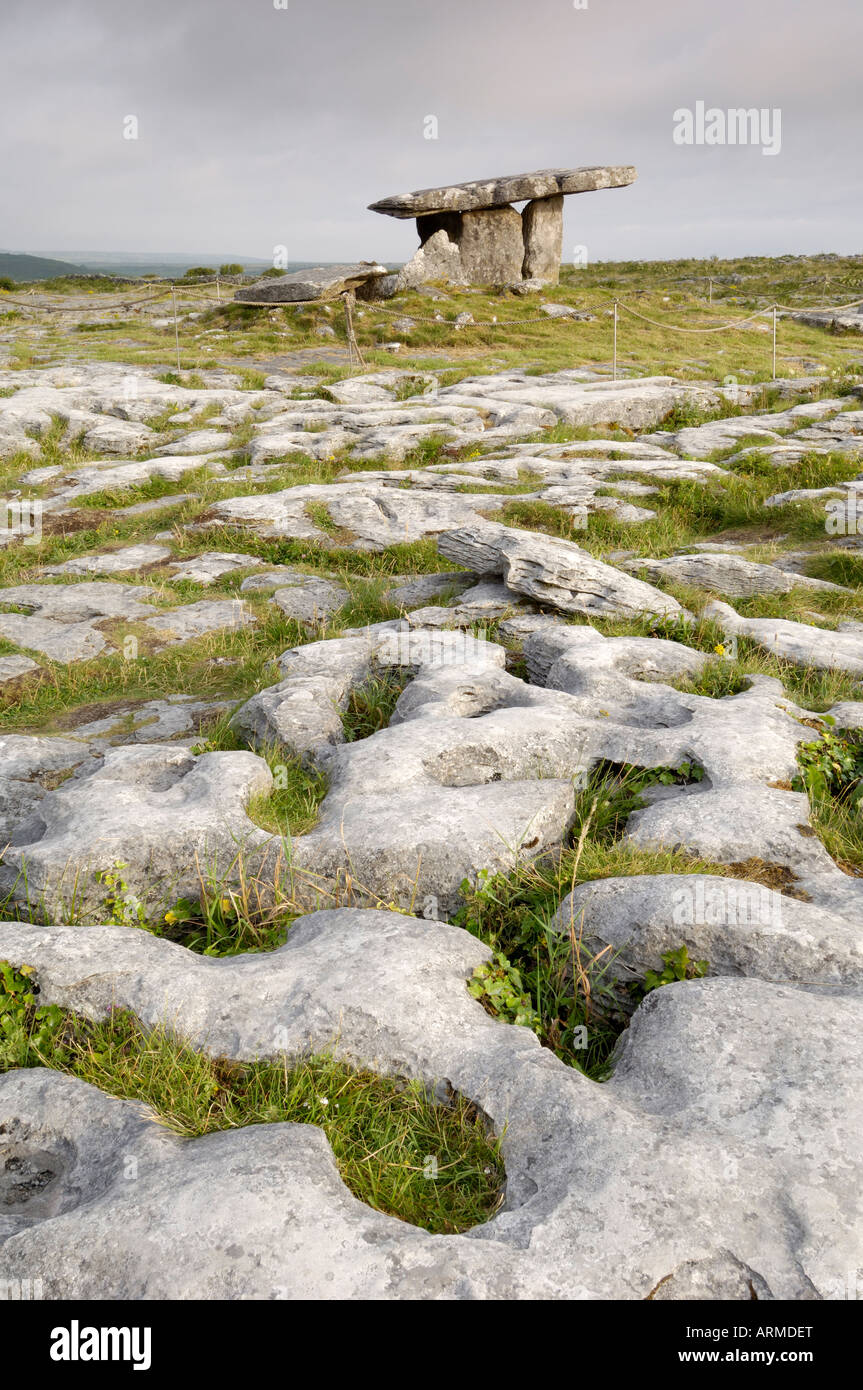 Bullaun stone in Formoyle WestBullaun stone · 1.8 mi
Explorer Tom Bullaun stone in Formoyle West had a massive feud with the rain until it disappeared in 1987, which feels like a very…
 Holy well in Formoyle WestHoly well · 1.8 mi
Explorer Tom Holy well in Formoyle West is invisible at ground level, which is great for keeping secrets but terrible for finding it…
 Cist in LislarheenmoreCist · 2.0 mi
Explorer Tom Cist in Lislarheenmore set itself a New Year's resolution to be found by someone other than the same two guys who've…
 Black HeadHeadland · 4.8 mi
Explorer Tom Black Head would bring a very heavy coat to any party because it thinks it’s always cold and slightly damp inside. It’s…
 Black Head LighthouseLighthouse · 4.8 mi
Explorer Tom Black Head Lighthouse in Murrooghtoohy North was built in 1936 because someone forgot to install streetlights. A dance…
Black Head (Clare)Lighthouse · 4.8 miExplorer Tom The weather has such a long-standing grudge against Black Head Lighthouse that it brings all its best storms just to…
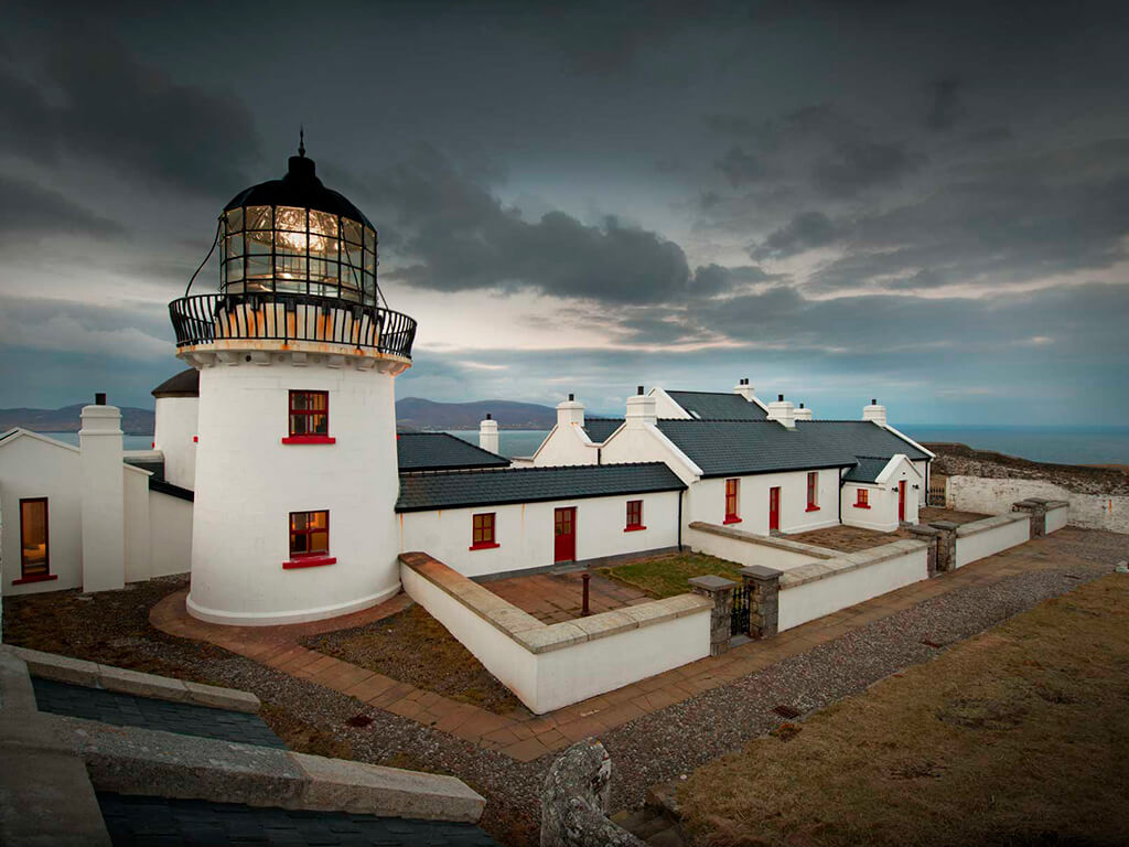 Lighthouse CaveCave · 4.8 mi
Explorer Tom Lighthouse Cave in Murrooghtoohy North has a prophecy about becoming the world's most famous cave, but it hasn't…
 Site of Lisdoonvarna CastleCastle, tower house · 5.2 mi
Explorer Tom Site of Lisdoonvarna Castle would be a total disaster on a reality show, probably losing its footing in episode one.…
More archaeology and monuments in County Clare · All of County Clare

What do you know about this place?Tap to add a comment or ask a question