What is recorded here
On the NE-facing slope of a hill in low-lying pastureland. This circular rath (diam. c. 40m), in fair condition, is defined by two banks and an intervening fosse. The inner bank is extant from N through S to WNW; elsewhere a scarp forms the enclosing element. The fosse is visible from SE through S to WSW while the outer bank only survives from SE to S.
Compiled by: Galway Archaeological Survey, UCG
Date of upload: 5 January 2018
The monument record does not grant public access. Check the route and ask the landowner before entering private land.
- What survives
- Recorded monument
Places near here
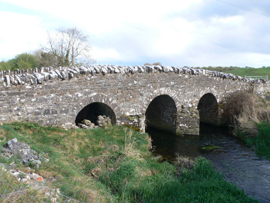 Castletown Bridgebridge · 936 yd
 Ballyfintan FortFairy fort / earthen ringfort · 938 yd
 Field system in Castletown (longford By.)Field system · 1044 yd
 CastleCastle, unclassified · 1087 yd
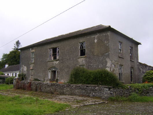 Streamstown Househouse · 1.2 mi
 Knockaunnageeragh Castle in ruinsCastle, unclassified · 1.4 mi
 Quarryhill WoodWood · 3.4 mi
 Bog WoodForest · 3.9 mi
 Dartfield Horse MuseumHeritage attraction · 4.3 mi
 Battle of AughrimMajor battlefield · 8.5 mi
 The bloody HollowHeritage attraction · 8.6 mi
 Battle of Aughrim Interpretative CentreMuseum · 8.9 mi