What is recorded here
Fairy fort / earthen ringfort in Grange More: A 38m circular rath in County Galway, partially erased by ploughing and cut by two field walls. The earth rampart still rises from northwest through east to south-southeast, marking a boundary that farming repeated but never fully understood. An underground passage lies nearby, inviting speculation about what the fort concealed or controlled. The site preserves the shape of human intention even where memory has thinned.
In an area of undulating pastureland and tillage. This poorly preserved circular rath (diam. 38m) is defined by a scarp from NW through E to SSE. A N-S running field wall cuts it at NW and another running E-W cuts it at SSE. No visible surface trace of the enclosing element survives to the W and S of these walls where the field has been tilled. A Man-made underground passage (GA106-087001-) is associated.
Compiled by: Galway Archaeological Survey, UCG
Date of upload: 4 January 2018
The monument record does not grant public access. Check the route and ask the landowner before entering private land.
- What survives
- Recorded monument
Places near here
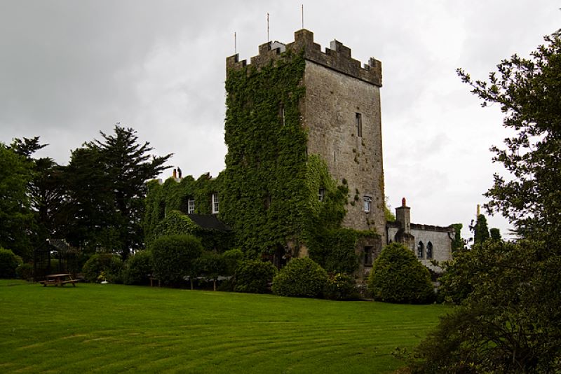 CastleCastle, unclassified · 1142 yd
 Knockaunnageeragh Castle in ruinsCastle, unclassified · 1370 yd
 Enclosure in Grange BegEnclosure · 1495 yd
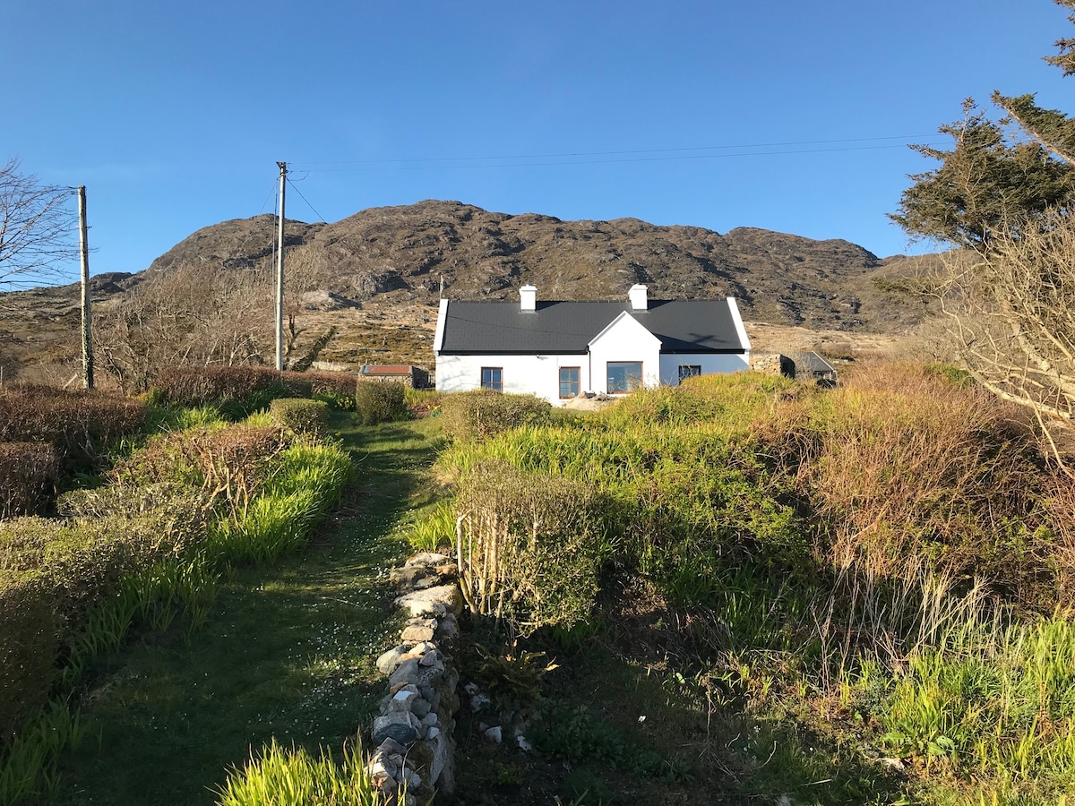 ‘Dogs Fort’Fairy fort / earthen ringfort · 1696 yd
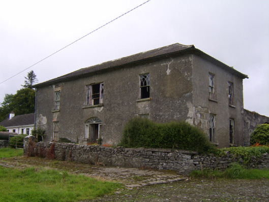 Streamstown Househouse · 1.0 mi
 Templebanaha (in ruins)Church · 1.1 mi
 Quarryhill WoodWood · 2.8 mi
 Bog WoodForest · 3.3 mi
 Dartfield Horse MuseumHeritage attraction · 4.8 mi
 Battle of AughrimMajor battlefield · 9.3 mi
 The bloody HollowHeritage attraction · 9.3 mi
 Battle of Aughrim Interpretative CentreMuseum · 9.7 mi