Places near here
Photo credits
- Maker not stated on source page, www.gettyimages.com
- National Inventory of Architectural Heritage
- Maker not stated on source page, monumentalireland.ie
- Maker not stated on source page, www.boboandchichi.com
- Maker not stated on source page, connor.anglican.org
- Maker not stated on source page, www.pinterest.com
- Maker not stated on source page, www.echolive.ie
- Maker not stated on source page, ru.pinterest.com
- Maker not stated on source page, www.alamy.com
- Maker not stated on source page, en.wikipedia.org
 Fairy fort / earthen ringfort in ShangarryFairy fort / earthen ringfort · 570 yd
Explorer Tom Fairy fort / earthen ringfort in Shangarry means 'the place where the sheep got confused' if you ask me. It’s a circle…
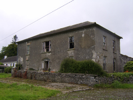 Streamstown HouseHouse · 672 yd
Explorer Tom Streamstown House was built on a bargain where the builder got paid in promises and good luck, neither of which held up…
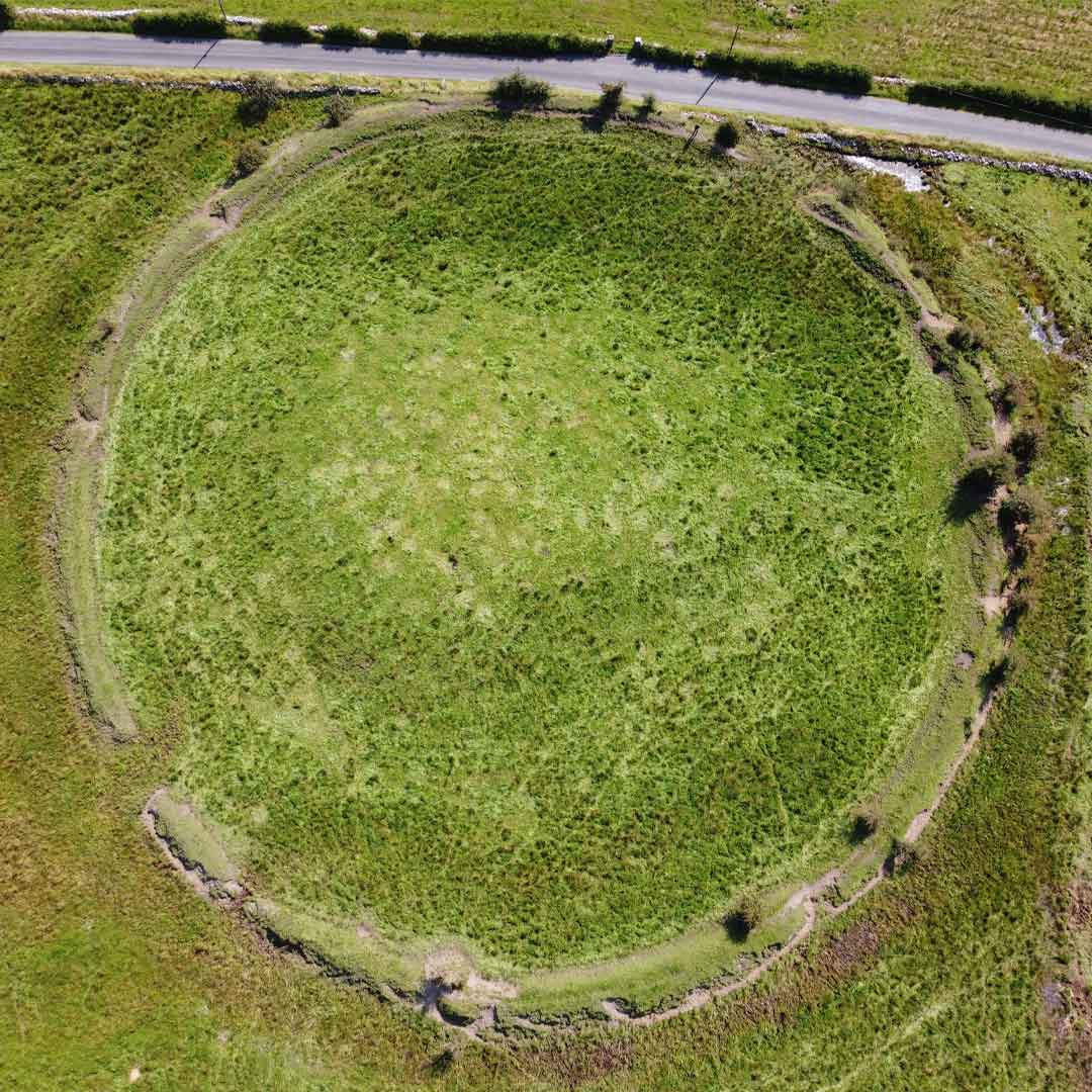 Fairy fort / earthen ringfort in Streamstown (leitrim By.)Fairy fort / earthen ringfort · 747 yd
Explorer Tom Fairy fort / earthen ringfort in Streamstown sits right next to a turlough, which is basically a lake that shows up for…
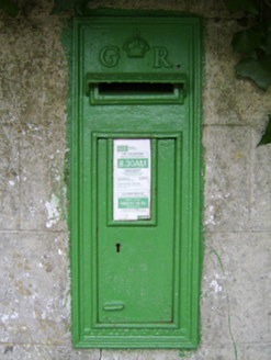 post box805 yd
Explorer Tom Post box in Shangarry is currently being mocked by local seagulls who think it’s just a fancy hat stand. It’s wearing…
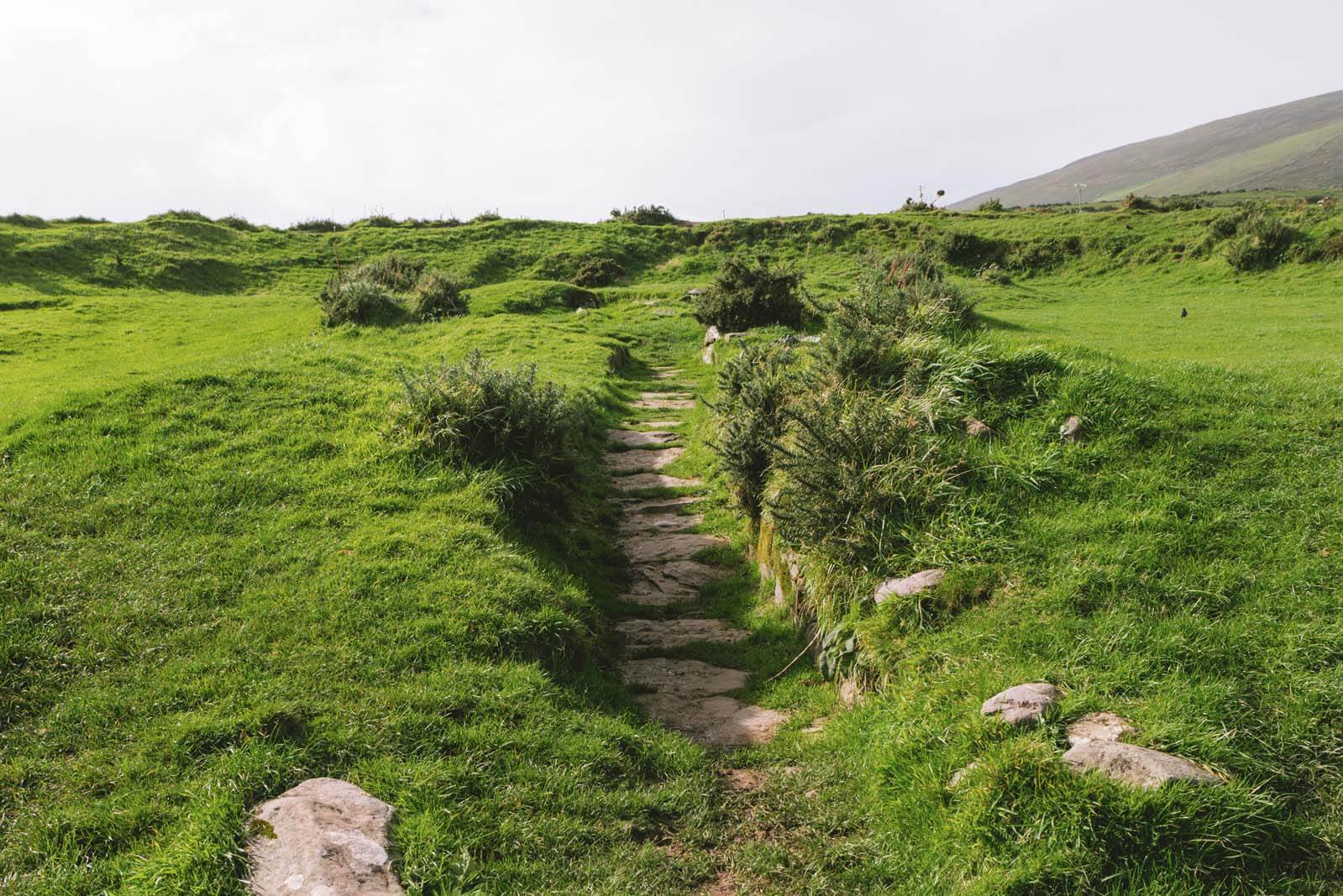 Fairy fort / earthen ringfort in Grange MoreFairy fort / earthen ringfort · 1142 yd
Explorer Tom Fairy fort / earthen ringfort in Grange More is poorly preserved and cut by field walls, which means the dance held…
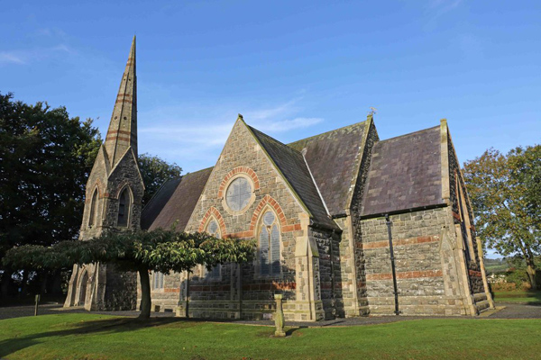 Church in KilbrideChurch · 1.1 mi
Explorer Tom Church in Kilbride would want its tombstone to read 'Died of embarrassment after being forgotten by 1839'. It’s…
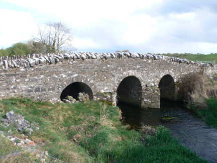 Castletown BridgeBridge · 1.5 mi
Explorer Tom Castletown Bridge is a multi-arched beauty that hates its new bypass sibling with a passion. Someone wrote a terrible…
 Fairy fort / stone ringfort in KilcoolyFairy fort / stone ringfort · 1.5 mi
Explorer Tom Fairy fort / stone ringfort in Kilcooly is a collapsed circle with big boulders sticking out like broken teeth. It’s in…
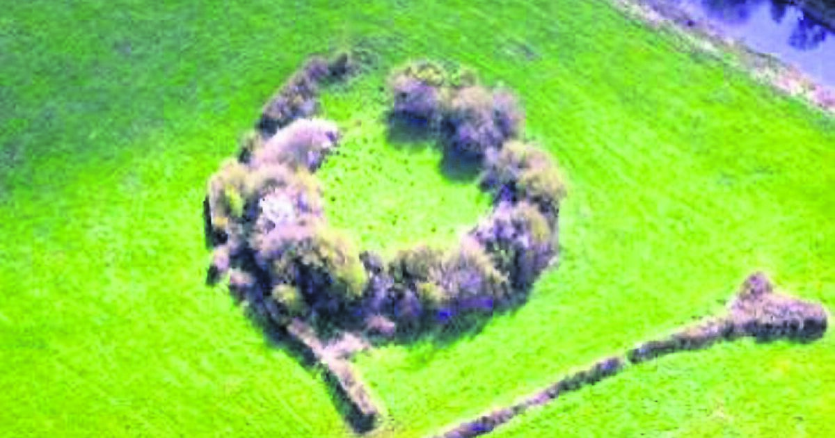 Fairy fort / earthen ringfort in LiscoyleFairy fort / earthen ringfort · 1.5 mi
Explorer Tom Fairy fort / earthen ringfort in Liscoyle was only revealed by aerial reconnaissance in 1987, so it kept its secrets…
 Graveyard in Lisheen NorthGraveyard · 1.5 mi
Explorer Tom Graveyard in Lisheen North is incredibly proud of being the only place in town that hasn’t changed at all since the…
 Mapped graveyardGraveyard · 1.9 mi
Explorer Tom Mapped graveyard in County Galway was nearly sold for a horse because someone thought it looked like a very expensive…
_(geograph_4071679).jpg/250px-Castles_of_Connacht-_Ballymore,_Galway_(1)_(geograph_4071679).jpg "Photo: Maker not stated on source page, en.wikipedia.org") CastleCastle, unclassified · 1.9 mi
CastleCastle, unclassified · 1.9 miExplorer Tom Castle in Liscoyle is protected by a curse that only affects people who don't wave properly at the cows. John Burk the…
More castles and forts in County Galway · All of County Galway

What do you know about this place?Tap to add a comment or ask a question