
What is recorded here
On a rise in undulating scrubland. Marked on the OS 6-inch maps as a rectangular enclosure (c. 50m NE-SW; c. 30m NW-SE). On inspection in June 1983 no visible surface trace survived. However, its outline is visible on the OSi digitalglobe aerial photograph.
Compiled by: Galway Archaeological Survey, UCG
Date of upload: 11 March 2019
A local fairy fort (ringfort/rath); wider significance not recorded.
The monument record does not grant public access. Check the route and ask the landowner before entering private land.
- What survives
- Recorded monument
Places near here
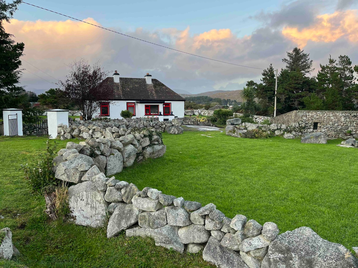 Templebanaha (in ruins)Church · 954 yd
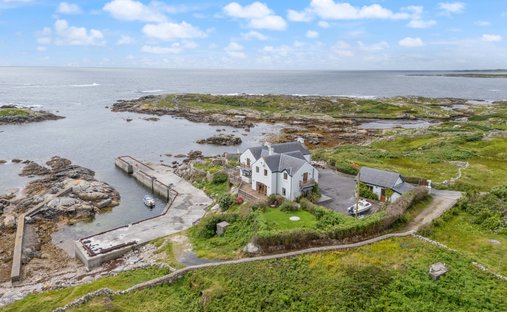 Quarry in CarrowcreevanaghQuarry · 1046 yd
 TobernagrannHoly well · 1157 yd
 Streamstown Castle (in ruins)Castle, unclassified · 1339 yd
 Site of ToberelleenHoly well · 1455 yd
 Knockaunnageeragh Castle in ruinsCastle, unclassified · 1485 yd
 Quarryhill WoodWood · 2.2 mi
 Bog WoodForest · 2.8 mi
 Dartfield Horse MuseumHeritage attraction · 5.3 mi
 Battle of AughrimMajor battlefield · 10 mi
 The bloody HollowHeritage attraction · 10 mi
 Battle of Aughrim Interpretative CentreMuseum · 11 mi
Other information
Photo: Credit not shown in the picture search · Rights wording not checked; contact us if this picture should be removed