
What is recorded here
Knockaunnageeragh Castle stood on a Galway pasture rise when Jhonick fitz Thoms held it in 1574, but even its wall traces vanished before the 1970s. A narrow earthen-cut passage appeared beside the lost footprint, perhaps a hidden entrance or merely a natural wound in the ground. The land may have swallowed the castle because it stopped serving the living, leaving only a small dip where curiosity still falls.
On a rise in pastureland. In 1574 this castle was in the possession of 'Jhonick fitz Thoms' (Nolan 1901, 111). It is indicated on the 1920 edition of the OS 6-inch map as an unroofed rectangular building (c. 12m NW-SE; c. 8m NE-SW). According to local information, traces of some of the walls remained until the early 1970s. However, no visible surface traces now survive. A small area of subsidence (0.87m N-S; 0.8m E-W; D 0.5m) to the W of the castle was investigated in August 1996. Traces of an earthen-cut passage ( L 0.3-4m; Wth 0.5m; D 0.1m) running E-W were revealed. The passage did not appear to extend to the W of the opening, however, the landowner indicated that it had been visible for c. 0.8m to the W but collapsed material subsequently closed it off. It was inconclusive whether the feature was the remains of an earthen-cut Man-made underground passage or whether it was a natural feature (Crumlish 1996).
Compiled by: Olive Alcock
Date of upload: 19 July 2017
Built or held in the late 16th century by a member of the FitzThomas family, likely of Gaelic Irish origin. The castle is remembered for its mention in early historical records and as a local example of early modern defensive architecture in the region.
The monument record does not grant public access. Check the route and ask the landowner before entering private land.
- What survives
- Recorded monument
Places near here
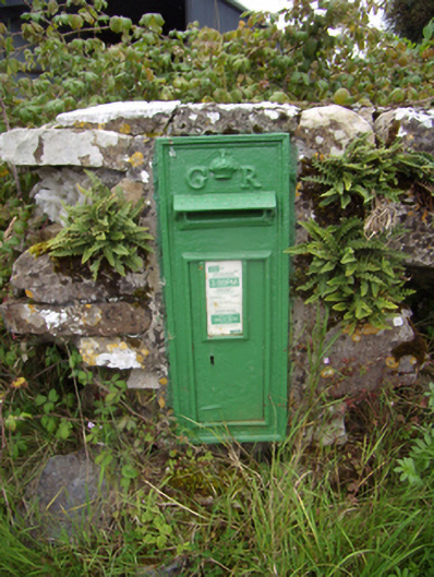 post boxpost box · 865 yd
 Templebanaha (in ruins)Church · 1037 yd
 Site of ToberelleenHoly well · 1400 yd
 Enclosure in Grange BegEnclosure · 1485 yd
 Streamstown Castle (in ruins)Castle, unclassified · 1.4 mi
 CastleCastle, unclassified · 1.6 mi
 Quarryhill WoodWood · 2.0 mi
 Bog WoodForest · 2.6 mi
 Dartfield Horse MuseumHeritage attraction · 5.5 mi
 Church HillMountain / peak · 5.8 mi
 Battle of AughrimMajor battlefield · 9.6 mi
 The bloody HollowHeritage attraction · 9.6 mi
Other information
Photo: Credit not shown in the picture search · Rights wording not checked; contact us if this picture should be removed