
What is recorded here
Castle is a steep-sided rectangular mound on a Galway hillock, marked only by local memory and a small summit depression. It never appeared on official maps, yet the earth rises six metres at the north edge before sloping away south. The mound may have been carved from the hillock itself, creating a flat stage above the pasture and stream. Whatever stood there has vanished, leaving a shape the land still remembers.
On a hillock in undulating pastureland and overlooking a stream c. 50m to the N. The OS Letters (O'Flanagan 1927, Vol. 2, 81) note that, according ‘to the natives’, there was a castle in this townland but it was not checked out on the ground. It is not shown on the OS 6-inch maps. However, local information suggests that a steep-sided subrectangular mound (L 26.5m; Wth 21.7m) located on the N shoulder of a hillock in the NW part of townland marks it site. The mound was possibly constructed by scarping the sides of the hillock. It stands up to 6m in height at N, sloping to 2m at S. On its flat summit is a small almost square depression (L 7m; Wth 6m) surrounded by a grassed-over rubble bank (Wth c. 2m, H c. 1m). No trace of any architectural fragments, cut stone or mortar was noted. A field system (GA106-049001-) surrounds the site.
Compiled by: Olive Alcock
Date of upload: 23 September 2021
The monument record does not grant public access. Check the route and ask the landowner before entering private land.
- What survives
- Recorded monument
Places near here
 Field system in Castletown (longford By.)Field system · 44 yd
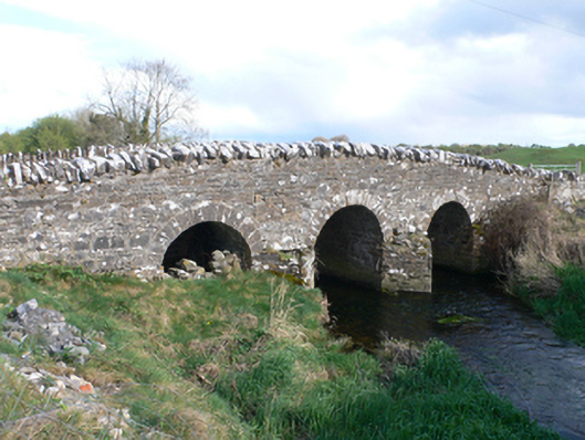 Castletown Bridgebridge · 326 yd
 Parkeen WellHoly well · 944 yd
 Knockaunnageeragh Castle in ruinsCastle, unclassified · 1.6 mi
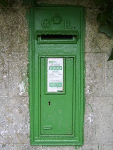 post boxpost box · 1.8 mi
 Streamstown Castle (in ruins)Castle, unclassified · 2.1 mi
 Quarryhill WoodWood · 3.6 mi
 Bog WoodForest · 4.1 mi
 Dartfield Horse MuseumHeritage attraction · 4.6 mi
 Church HillMountain / peak · 6.8 mi
 Battle of AughrimMajor battlefield · 8.0 mi
 The bloody HollowHeritage attraction · 8.0 mi
Other information
Photo: Credit not shown in the picture search · Rights wording not checked; contact us if this picture should be removed