What is recorded here
Mortons and Delany recorded the site before modern survey wheels rolled past. Garraunnameetagh still holds a subcircular rath at the ridge end, its double banks and narrow fosse marking a small defended or occupied place in open grassland. The name invites fairy tale, but the earthwork speaks plainly: someone shaped a boundary, lived inside it, and left a shape the land has not forgotten.
At the N end of a ridge in undulating grassland. This subcircular rath (29.5m NNW-SSE; 22.5m
ENE-WSW), in fair condition, is defined by two banks and an intervening fosse. The inner bank (Wth 4.8m including slippage; int. H 0.1m; ext. H 1.3m) is visible from S through W to NNW; traces of an external stone revetment are visible at NNW. A scarp forms the enclosing element from NNW through E to S. The fosse (Wth 1.3m) and outer bank (Wth 4.8m; int. H 0.5m; ext. H 1m) survive from W to NNW. Hawthorn trees are growing on the inner bank from S to SW.
Compiled by: Galway Archaeological Survey, UCG
Date of upload: 22 December 2017
The monument record does not grant public access. Check the route and ask the landowner before entering private land.
- What survives
- Recorded monument
Places near here
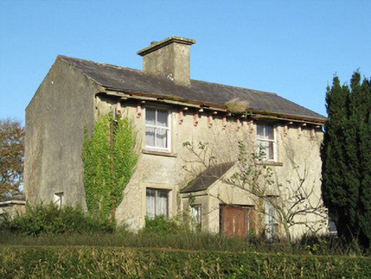 Lisduff Househouse · 1067 yd
 Parkeen WellHoly well · 1328 yd
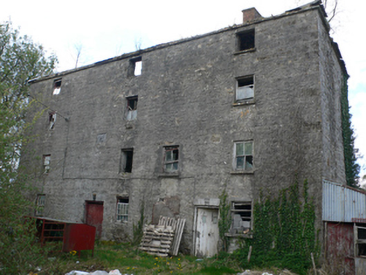 Lisduff Millmill (water) · 1668 yd
 Knockaunnageeragh Castle in ruinsCastle, unclassified · 1.2 mi
 CastleCastle, unclassified · 1.3 mi
 Field system in Castletown (longford By.)Field system · 1.3 mi
 Quarryhill WoodWood · 2.6 mi
 Bog WoodForest · 3.1 mi
 Church HillMountain / peak · 5.5 mi
 Dartfield Horse MuseumHeritage attraction · 5.8 mi
 The bloody HollowHeritage attraction · 8.6 mi
 Battle of AughrimMajor battlefield · 8.6 mi