
What is recorded here
The following description is derived from both the published 'Archaeological Inventory of County Louth' (Dublin: Stationery Office, 1986) and the 'Archaeological Survey of County Louth' (Dublin: Stationery Office, 1991). In certain instances the entries have been revised and updated in the light of recent research.
Date of upload/revision: 17 July 2007
Situated on top of an outcrop rise. Sub-circular platform (int. dims. 35m E-W, 30m N-S, H 1.5m) enclosed by much-degraded earthen bank now reduced to a scarp. The bank still rises to a height of 0.7m above the interior at the NE. Ancient entrance at SE represented by a depression in the scarp. Possible Man-made underground passage (LH013-013002-) in interior.
The monument record does not grant public access. Check the route and ask the landowner before entering private land.
- What survives
- Recorded monument
Places near here
 Liscalga FortArchaeological place · 14 yd
 Martins FortArchaeological place · 765 yd
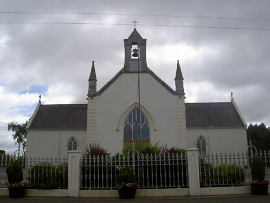 Saint Malachy's Catholic Churchchurch/chapel · 788 yd
 CastleCastle, unclassified · 852 yd
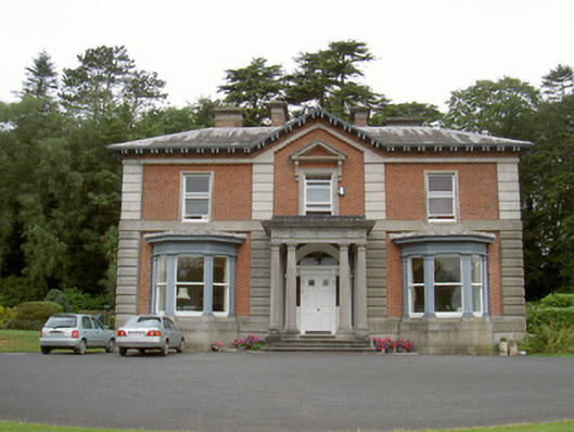 Cardistown Househouse · 1004 yd
 Site of Cookstown CastleCastle, unclassified · 1.6 mi
 Flat cemetery in AnnaheanFlat cemetery · 2.1 mi
 TuliptreeTuliptree · 2.2 mi
 European YewEuropean Yew · 2.2 mi
 Matthew's HillMountain / peak · 2.4 mi
 Yellow HillMountain / peak · 3.3 mi
 Sir Frederick Foster MemorialMemorial · 4.3 mi
Other information
Photo: Credit not shown in the picture search · Rights wording not checked; contact us if this picture should be removed