
What is recorded here
Located with a large arable field adjacent to the coast, cropmarks indicate the presence of subsurface remains of a parallel linear ditches. The parallel ditches visible on Google maps imagery (June 2018), are visible for c.50m and are aligned NNE/SSW. Situated approximately 16m apart the linear ditches average 2m in width. The linear ditches appear to lead towards double ditched enclosure (DU005-203----). Other cropmarks in the field may indicate extensive activity in this area.
See attached Google Earth orthoimage taken 24/06/2018
Compiled by: Christine Baker
Date of upload: 8 November 2021
The monument record does not grant public access. Check the route and ask the landowner before entering private land.
- What survives
- Recorded monument
Places near here
 Enclosure in LaneEnclosure · 289 yd
 Ring-ditch in LaneRing-ditch · 507 yd
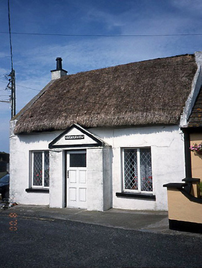 Harbour Viewhouse · 1578 yd
 Shenick IslandIslet · 1601 yd
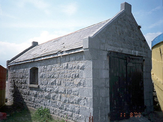 boathouseboathouse · 1607 yd
 LoughshinnyVisitor information · 1.0 mi
 Skerries BeachVisitor information · 1.7 mi
 Colt IslandIslet · 1.8 mi
 Castle (in ruins)Castle, Anglo-Norman masonry castle · 1.8 mi
 Percy FrenchMemorial · 1.9 mi
 Skerries RockMemorial · 2.0 mi
 Ring-ditch in PopeshallRing-ditch · 771 yd
Other information
Photo: Credit not shown in the picture search · Rights wording not checked; contact us if this picture should be removed