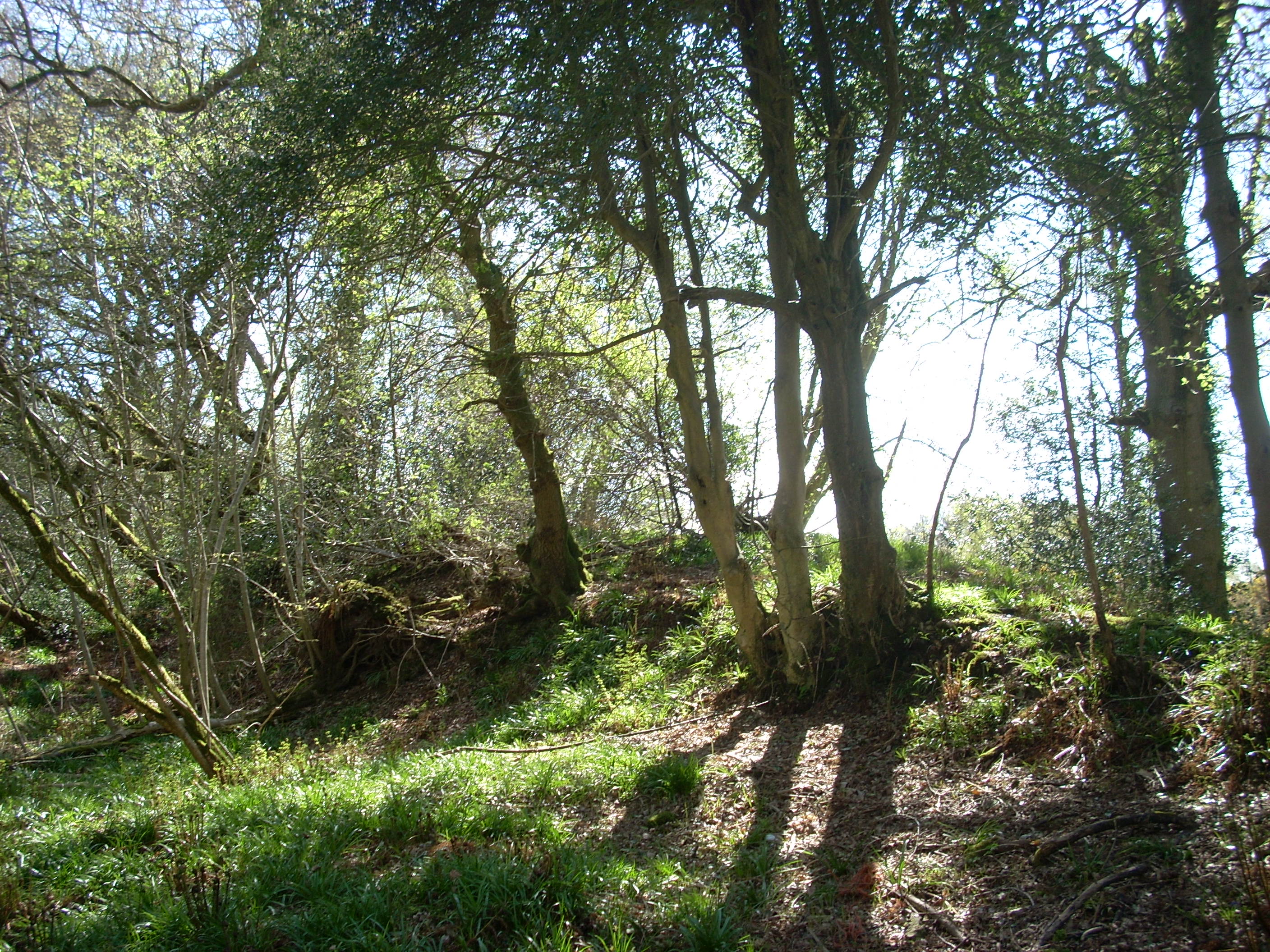
What is recorded here
Rob Goodbody (pers. comm.) has identified a section of bank running through Bray Golf Course which may be part of the Pale Ditch. It follows the line of the county boundary and is in flat coastal terrain with views onto the Sugarloaf Mountain in the South. It is a continuous curving section of bank (L 150m) which runs on a NNE -WSW axis. It comprises a splayed, flat-topped bank (Wth at top 1.60m; Wth at base 10m; H.0.80m) and some mature Sycamores grow along the side.
Compiled by: Geraldine Stout and Padraig Clancy.
Revised upload on: 21 April 2018.
The monument record does not grant public access. Check the route and ask the landowner before entering private land.
- What survives
- Recorded monument
Places near here
 Martello TowerMartello tower · 417 yd
 Abbey WellHoly well · 500 yd
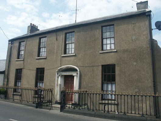 Cooleyhouse · 511 yd
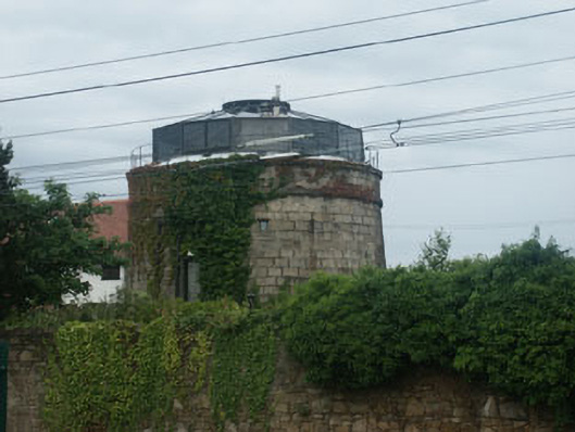 Bray Martello Towermartello tower · 543 yd
 Cas.Castle, tower house · 713 yd
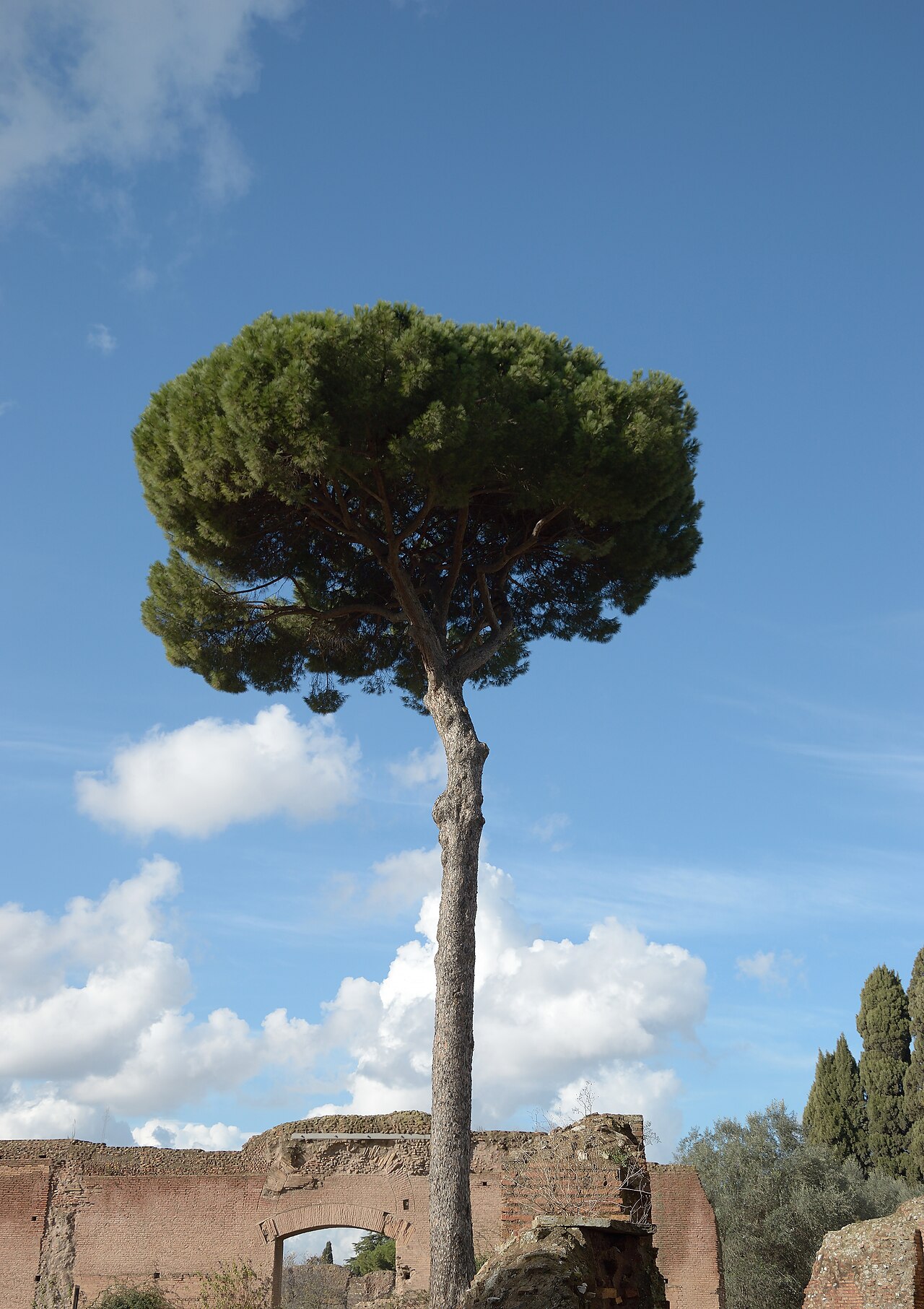 Stone PineStone Pine · 719 yd
 Christopher ThompsonMemorial · 763 yd
 European YewEuropean Yew · 801 yd
 Bray BeachBeach / strand · 1232 yd
 St. James GateVisitor information · 1.0 mi
 Naylor's CoveBeach / strand · 1.3 mi
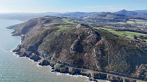 Bray HeadMountain / peak · 1.7 mi
Other information
Photo: Credit not shown in the picture search · Rights wording not checked; contact us if this picture should be removed