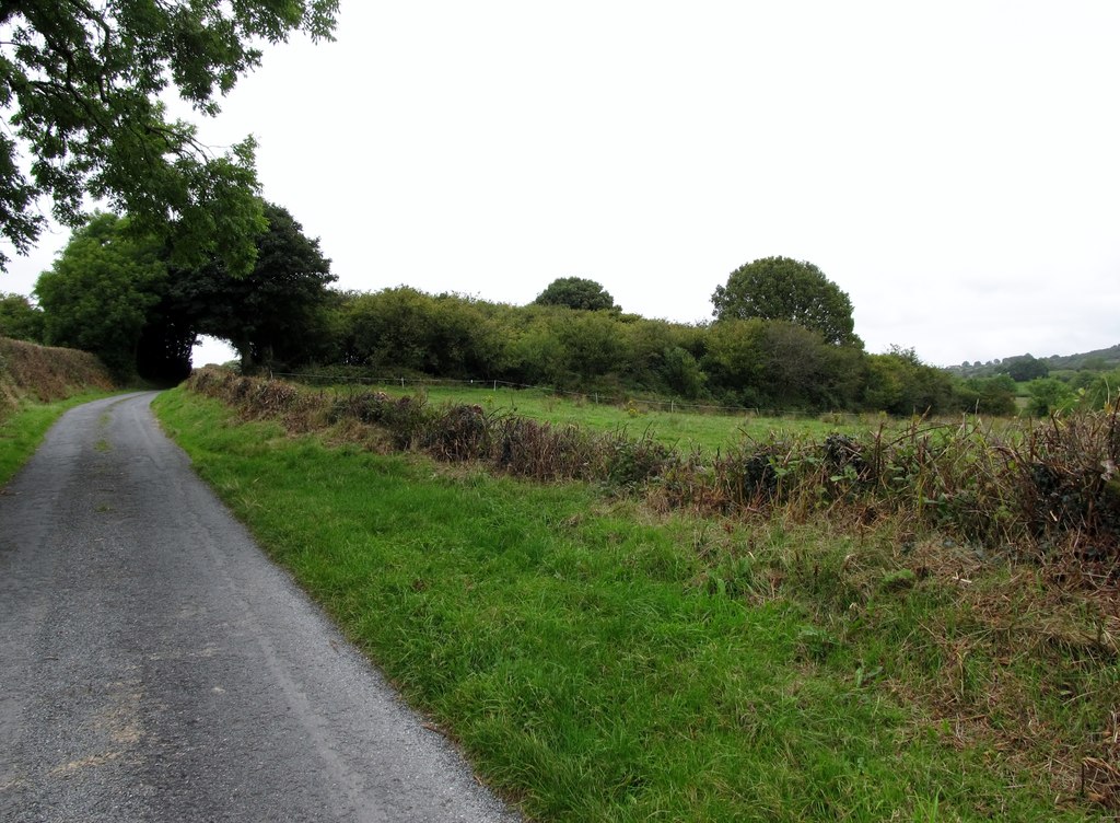
What is recorded here
From the National Monuments Service (Archaeological Survey of Ireland) record LE002-035
Places near here
Photo credits
- Maker not stated on source page, www.flickr.com
- Maker not stated on source page, es.wikipedia.org
- Maker not stated on source page, fi.pinterest.com
- National Inventory of Architectural Heritage
- Maker not stated on source page, cont.ws
- Maker not stated on source page, www.dreamstime.com
- Maker not stated on source page, slavtradition.com
- Maker not stated on source page, tripanthropologist.com
- Maker not stated on source page, en.wikipedia.org
- louise price, Wikimedia Commons · CC BY-SA 2.0
 Fairy fort / earthen ringfort in BoyannaghFairy fort / earthen ringfort · 247 yd
Explorer Tom Fairy fort / earthen ringfort in Boyannagh hates modern houses because they don't have character or proper mud. It’s…
 Rathglass Levelled Fairy FortFairy fort / earthen ringfort · 1186 yd
Explorer Tom Rathglass Levelled Fairy Fort is mostly just a 42m mound rising six decimeters from the ground, which is honestly a bit…
 Standing stone in RathmoreStanding stone · 1510 yd
Explorer Tom Standing stone in Rathmore is only 2ft high according to old notes! That’s barely taller than my dog. I bet it’s just a…
 bridge1663 yd
Explorer Tom Bridge in Ardfarn is built c. 1790 and looks slightly hump-backed, like a stone tortoise who has forgotten how to stand…
 Ballymunterhiggin Fairy FortFairy fort / earthen ringfort · 1.1 mi
Explorer Tom Ballymunterhiggin Fairy Fort is mostly just a muddy dip and some soggy rushes on the ridge. It’s not exactly a…
 Destroyed Finner Burial GroundGraveyard · 1.5 mi
Explorer Tom Destroyed Finner Burial Ground was an oval enclosure about 130 by 90 metres, with substantial banks and a church…
 Destroyed Finner Early Church EnclosureEcclesiastical enclosure · 1.5 mi
Explorer Tom Destroyed Finner Early Church Enclosure was described as an oval roughly 130 by 90 metres before its destruction. The…
 Bullaun stone in ArdfarnBullaun stone · 1.6 mi
Explorer Tom Bullaun stone in Ardfarn is a real wildcard because the name itself suggests a hollow or a dip, which fits perfectly…
 Standing stone in BallymunterhigginStanding stone · 1.6 mi
Explorer Tom Standing stone in Ballymunterhiggin leans so much it looks like it’s trying to get a better look at the horizon. Two…
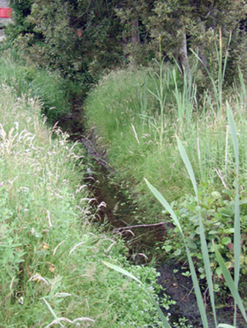 Mullanaleck MillMill race · 1.8 mi
Explorer Tom Mullanaleck Mill in Mullanaleck has a millrace that looks like it wandered into the wrong county entirely. It drove two…
 Mapped cemeteryCemetery · 2.2 mi
Explorer Tom Mapped cemetery hates visitors who walk in with their phones out, treating every step like they’re posting a story…
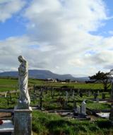 Finner Old GraveyardGraveyard · 2.2 mi
Explorer Tom Finner Old Graveyard is shaped like a D but apparently never finished its full circle. I bet whoever started that wall…
More archaeology and monuments in County Leitrim · All of County Leitrim

What do you know about this place?Tap to add a comment or ask a question