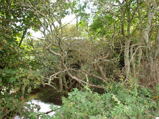
What is recorded here
Double-arched bridge carrying road over the Bradoge River, built c. 1790, having cutwater to central pier. Slightly hump-backed. Round-headed arches having cut stone voussoirs to arches and with rubble stone construction to arch barrels. Roughly squared rubble stone construction to spandrels, pier, and parapets with…
Read the whole record
From the Buildings of Ireland (National Inventory of Architectural Heritage) record 40911001
Places near here
Photo credits
- Maker not stated on source page, www.pinterest.com
- Maker not stated on source page, es.wikipedia.org
- Maker not stated on source page, slavtradition.com
- Maker not stated on source page, www.flickr.com
- Maker not stated on source page, en.wikipedia.org
- National Inventory of Architectural Heritage
- Kenneth Allen, Geograph · CC BY-SA 2.0
- Donegal Live; individual photographer not named, www.donegallive.ie
- Maker not stated on source page, kids.britannica.com
- Highland Radio (publisher); individual photographer not stated, highlandradio.com
 Standing stone in RathmoreStanding stone · 802 yd
Explorer Tom Standing stone in Rathmore is standing on fairly wet pasture land but looking out at some really big views! It must be…
 Rathglass Levelled Fairy FortFairy fort / earthen ringfort · 838 yd
Explorer Tom Rathglass Levelled Fairy Fort is mostly just a 42m mound rising six decimeters from the ground, which is honestly a bit…
 Bullaun stone in ArdfarnBullaun stone · 1296 yd
Explorer Tom Bullaun stone in Ardfarn is a real wildcard because the name itself suggests a hollow or a dip, which fits perfectly…
 Fairy fort / earthen ringfort in BoyannaghFairy fort / earthen ringfort · 1473 yd
Explorer Tom Fairy fort / earthen ringfort in Boyannagh is haunted by a giant who lost his keys. He was so tall he kept knocking his…
 Linear earthwork in BoyannaghLinear earthwork · 1662 yd
Explorer Tom Linear earthwork in Boyannagh claims a famous singer once tripped here and broke her mic stand. It’s just a long dirt…
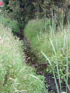 Mullanaleck MillMill race · 1.2 mi
Explorer Tom Mullanaleck Mill in Mullanaleck has a millrace that looks like it wandered into the wrong county entirely. It drove two…
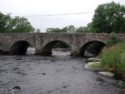 Four Masters BridgeBridge · 1.3 mi
Explorer Tom Four Masters Bridge in Mullanaleck gave up sugar for Lent because it’s made of stone and feels guilty about it. It…
 The Phoenix TavernPub · 1.5 mi
Explorer Tom The Phoenix Tavern in Bundoran rises from the ashes of bad decisions daily, fueled by local gossip and questionable…
 mcgarriglesRestaurant · 1.6 mi
Explorer Tom Mcgarrigles is a restaurant with no capital letters, which suggests it’s very casual and probably doesn’t care about…
 Gaelic Park, Réalt na Mara GAAGAA ground · 1.8 mi
 Inish SamerIslet · 2.5 mi
Explorer Tom Inish Samer is sitting at the River Erne’s mouth, guarding two shards of black pottery. A whole ancient community…
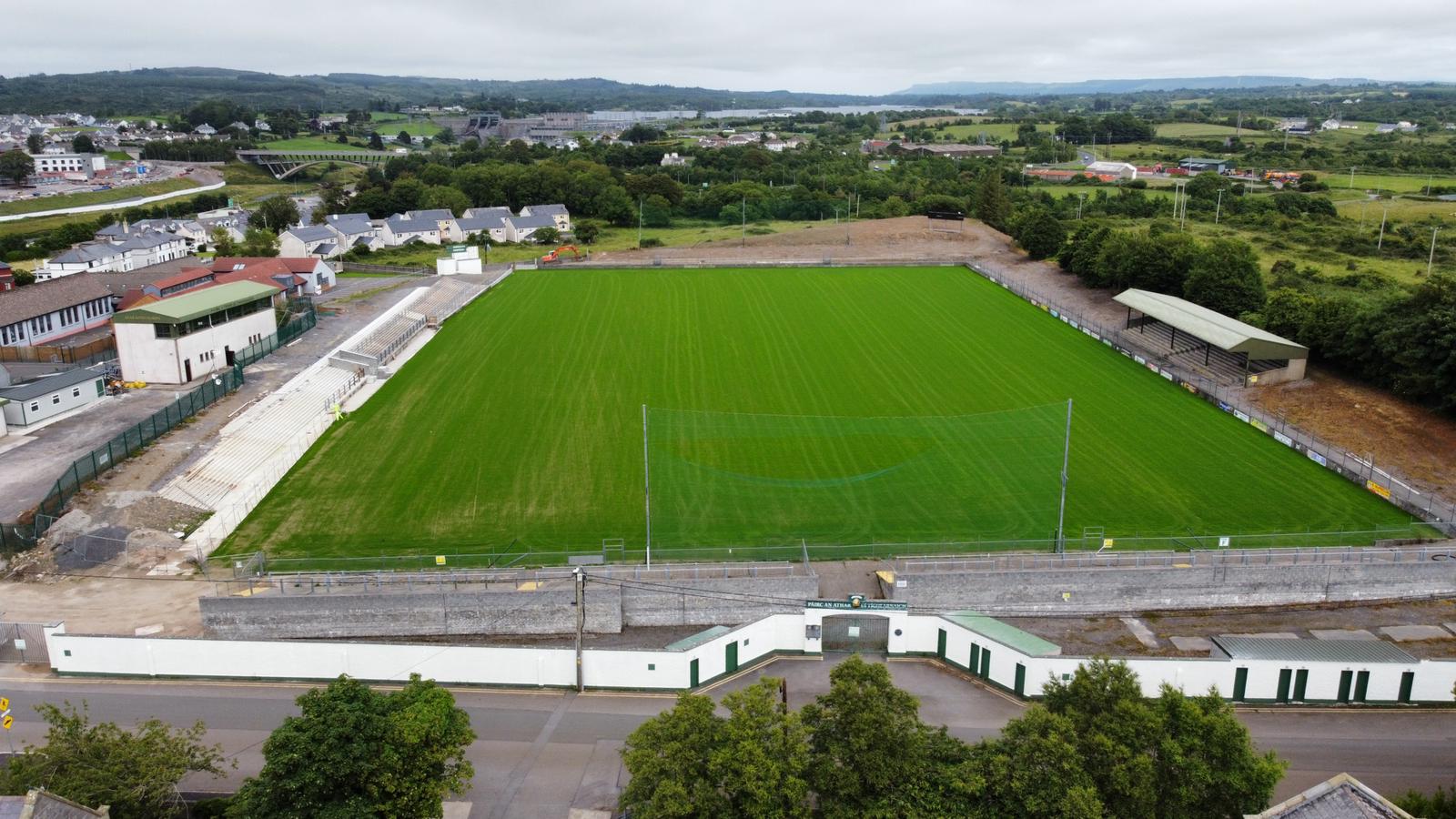 Father Tierney ParkGAA ground · 2.6 mi
More historic places in County Donegal · All of County Donegal

What do you know about this place?Tap to add a comment or ask a question