
What is recorded here
Marked as a 'burial ground' (DG107-078003-) on the OS 6-inch maps. This site was destroyed without record very recently. It was undoubtedly the remains of an important early ecclesiastical site. 'Substantial banks and the foundations of a church (DG107-078002-)' were visible. Oval in shape (DG107-078001-), it would…
Read the whole record
From the National Monuments Service (Archaeological Survey of Ireland) record DG107-078003
Places near here
Photo credits
- Maker not stated on source page, www.dreamstime.com
- Maker not stated on source page, www.pinterest.com
- Maker not stated on source page, en.wikipedia.org
- louise price, Wikimedia Commons · CC BY-SA 2.0
- National Inventory of Architectural Heritage
- Jonathan Wilkins, Geograph · CC BY-SA 2.0
- Kenneth Allen, Geograph · CC BY-SA 2.0
- Highland Radio (publisher); individual photographer not stated, highlandradio.com
- Donegal Live; individual photographer not named, www.donegallive.ie
 Destroyed Finner Early Church EnclosureEcclesiastical enclosure · 1 yd
Explorer Tom Destroyed Finner Early Church Enclosure was described as an oval roughly 130 by 90 metres before its destruction. The…
 Standing stone in RathmoreStanding stone · 942 yd
Explorer Tom Standing stone in Rathmore is standing on fairly wet pasture land but looking out at some really big views! It must be…
 Mapped cemeteryCemetery · 1484 yd
Explorer Tom Mapped cemetery hates visitors who walk in with their phones out, treating every step like they’re posting a story…
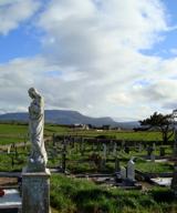 Finner Old GraveyardGraveyard · 1488 yd
Explorer Tom Finner Old Graveyard is shaped like a D but apparently never finished its full circle. I bet whoever started that wall…
 bridge1557 yd
Explorer Tom Bridge in Dunmuckrum was built in 1866 to standard Irish gauge, not the narrow stuff used up north. I think it’s…
 Tullan StrandBeach / strand · 1.2 mi
Explorer Tom Tullan Strand gives Bundoran two kilometres of sand, rolling surf and the Dartry Mountains lined up across the bay like…
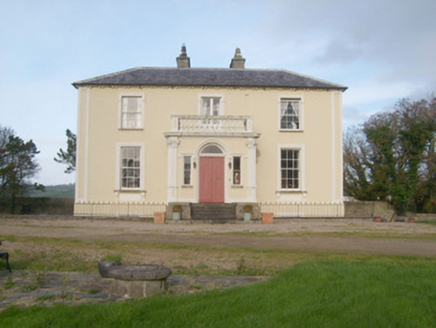 Portnason HouseHouse · 1.5 mi
Explorer Tom Portnason House was built around 1820 as a classic gentleman's seat, but it grew an elaborate Victorian porch around…
 Wardtown StrandBeach / strand · 1.5 mi
Explorer Tom Wardtown Strand is where Donegal's southern edge swaps the usual postcard beach for a broad, changing meeting of river…
 The Phoenix TavernPub · 1.5 mi
Explorer Tom The Phoenix Tavern in Bundoran rises from the ashes of bad decisions daily, fueled by local gossip and questionable…
 mcgarriglesRestaurant · 1.6 mi
Explorer Tom Mcgarrigles is a restaurant with no capital letters, which suggests it’s very casual and probably doesn’t care about…
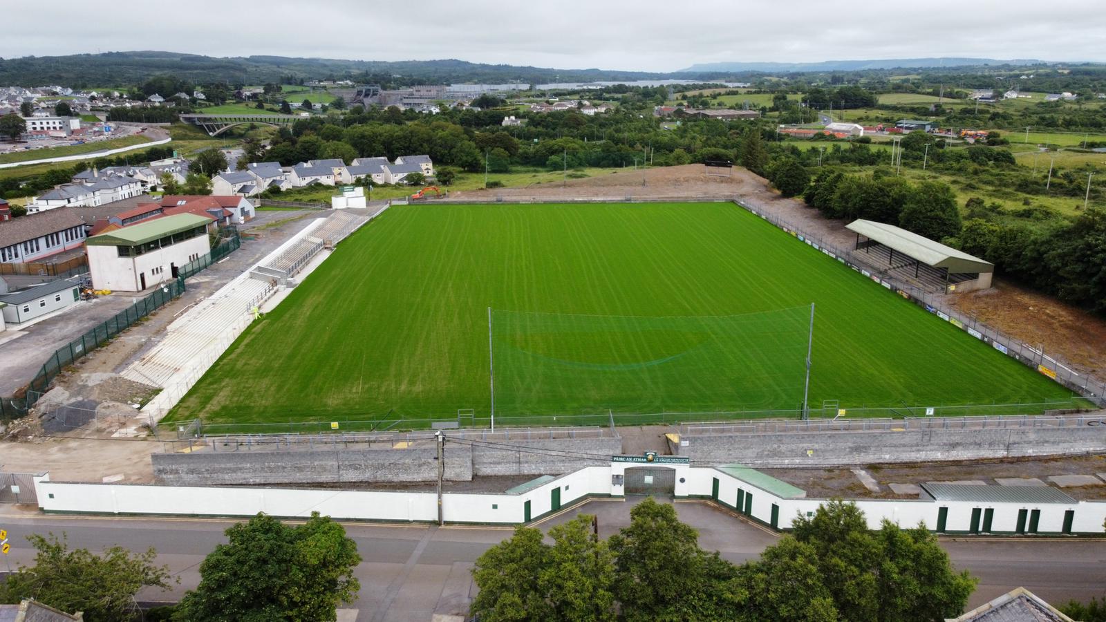 Father Tierney ParkGAA ground · 1.9 mi
 Gaelic Park, Réalt na Mara GAAGAA ground · 2.1 mi
More archaeology and monuments in County Donegal · All of County Donegal

What do you know about this place?Tap to add a comment or ask a question