What is recorded here
Located on the E-facing slope of a N-S escarpment. It is described as a small midden associated with a cave that was nvestigated by R.J. Ussher at the end of the 19th century when the bones of domesticated animals and artefacts of the first millenium AD were recovered. The cave is no longer visible. Is named 'Limsetone cave' on the latest OS 6-inch map. (Ussher 1885, 365; Moore 1999, no. 425)
Revised by: Michael Moore, Paul Walsh
Date of upload: 28 April 2014
The cave is situated in limestone, typical of karst landscapes, and likely formed through dissolution by acidic water over millennia. R.J. Ussher's 19th-century investigation uncovered a small midden containing bones of domesticated animals, suggesting limited human activity or habitation in the area.
The monument record does not grant public access. Check the route and ask the landowner before entering private land.
- What survives
- Recorded monument
Places near here
 Enclosure in Bridgequarter (decies Without Drum By.)Enclosure · 580 yd
 Whitechurch Churchchurch/chapel · 742 yd
 Grave Yd.Graveyard · 744 yd
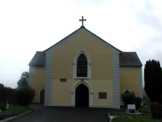 Saint James's Catholic ChurchOfficially recorded historic building · 811 yd
 Kilgreany CaveCave · 1188 yd
 site of CastleCastle, unclassified · 1.2 mi
 Abbey (in ruins)Castle, tower house · 1.4 mi
 Black HillMountain / peak · 2.2 mi
 Dromona HillMountain / peak · 3.5 mi
 Master McGrathMemorial · 3.6 mi
 Battle of AffaneMajor battlefield · 3.6 mi
 Dromana GateHeritage attraction · 3.8 mi