What is recorded here
From the National Monuments Service (Archaeological Survey of Ireland) record CO099-090
Places near here
Photo credits
- Maker not stated on source page, en.wikipedia.org
- National Inventory of Architectural Heritage
- Maker not stated on source page, www.alamy.com
- Maker not stated on source page, whitetown.sk
- Honourablemencandiffer, Wikimedia Commons · Public domain
- Maker not stated on source page, commons.wikimedia.org
 Back strandBeach / strand · 434 yd
Explorer Tom Back strand is exactly what it says on the tin, which is suspiciously vague for a place with such a definitive name.…
 Ringabella HouseHouse · 551 yd
Explorer Tom Ringabella House is writing on its dating profile: ‘Classically inspired coastal beauty with an irregular façade and…
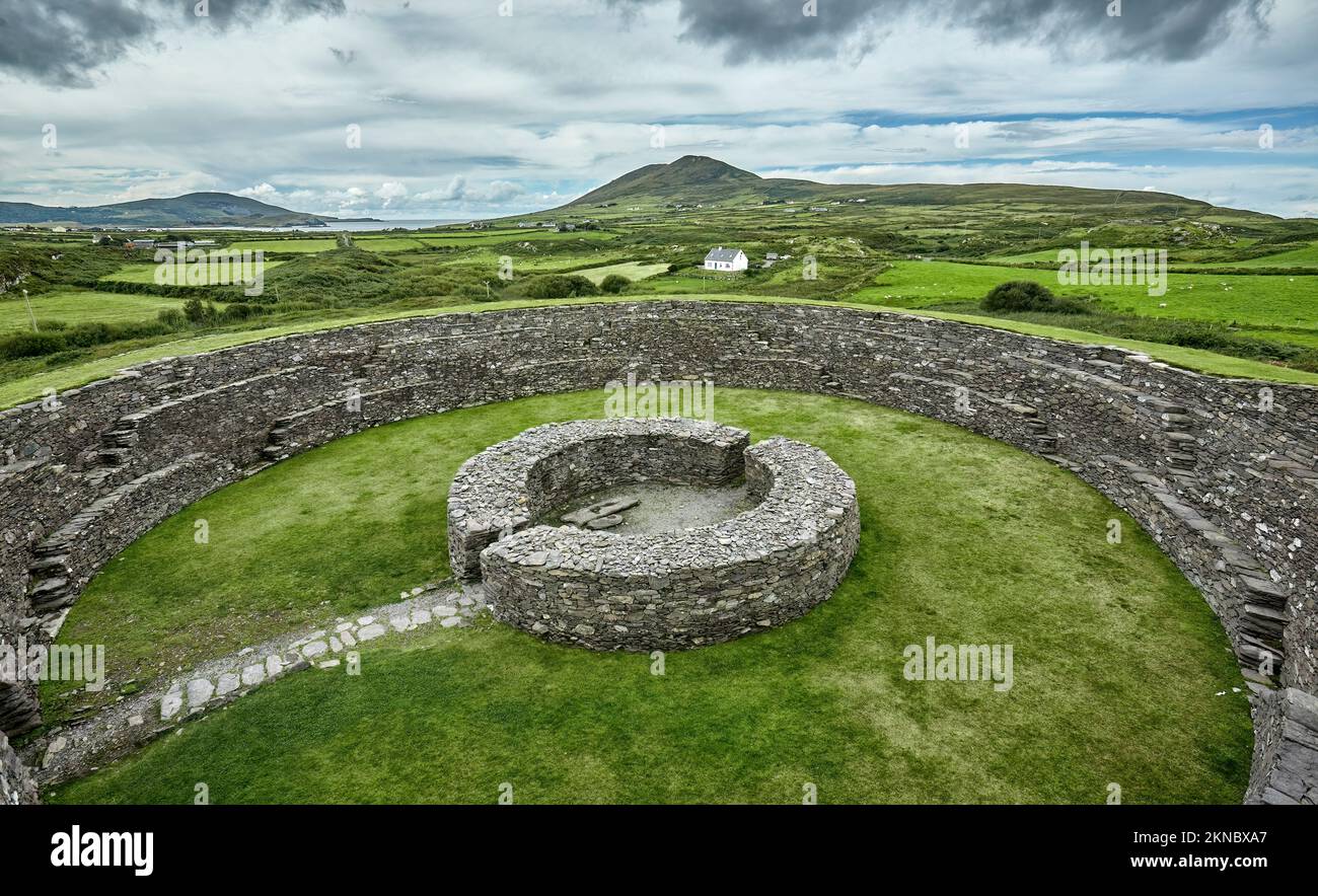 Fairy fort / earthen ringfort in RingabellaFairy fort / earthen ringfort · 969 yd
Explorer Tom Fairy fort / earthen ringfort in Ringabella is saucer-shaped inside, which suggests either aliens or very lazy builders…
 Fountainstown HouseCountry house · 1455 yd
Explorer Tom Fountainstown House in Fountainstown has been sitting pretty since the seventeenth century, looking down on us moderns…
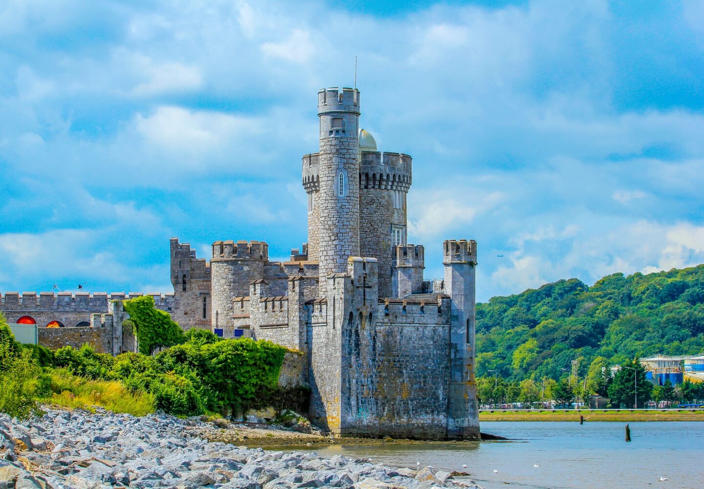 CastleCastle, unclassified · 1.0 mi
Explorer Tom Castle in Gortigrenane might not even exist. One guy said it was De Cogan's, but another says it’s just 'The Foundation…
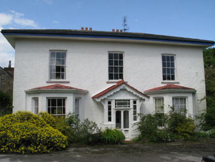 Myrtleville HouseCountry house · 1.2 mi
Explorer Tom Myrtleville House has canted bay windows added around 1880, probably because the original owners needed more light for…
 Pine LodgeHouse · 1.3 mi
Explorer Tom Pine Lodge in Myrtleville, County Cork is a public house from 1920 with canted bay windows that look like they’re…
 IvywoodHouse · 1.3 mi
Explorer Tom Ivywood has a ghost that’s too lazy to haunt it because the view over the bay is better. It’s got gabled dormers that…
 Myrtleville BeachBeach / strand · 1.4 mi
Explorer Tom Myrtleville Beach is the sort of Cork shore where I might promise a heroic swim and then announce that my ankles have…
 Boundary stone in HoddersfieldBoundary stone · 1.8 mi
Explorer Tom Boundary stone in Hoddersfield is doing its best to look like it means business since 1715, claiming a road that…
 Graveyard in LaharranGraveyard · 1.9 mi
Explorer Tom Graveyard in Laharran sits where a boulder used to be the star of the show. The field name is 'Pairc a dalláin', which…
 Graveyard in KilcoltaGraveyard · 2.2 mi
Explorer Tom Graveyard in Kilcolta overlooks Cork Harbour from a hilltop, which means it had front-row seats to every dramatic…
More historic places in County Cork · All of County Cork

What do you know about this place?Tap to add a comment or ask a question